 Jedr Blaszyk
Over 500 kilometers, 13,000 meters of elevation gain, and seven days of riding through the Alps. The Torino-Nice Rally (TNR) takes you through some of the most spectacular mountain passes on the Italian-French border, all the way down to the Mediterranean Sea.
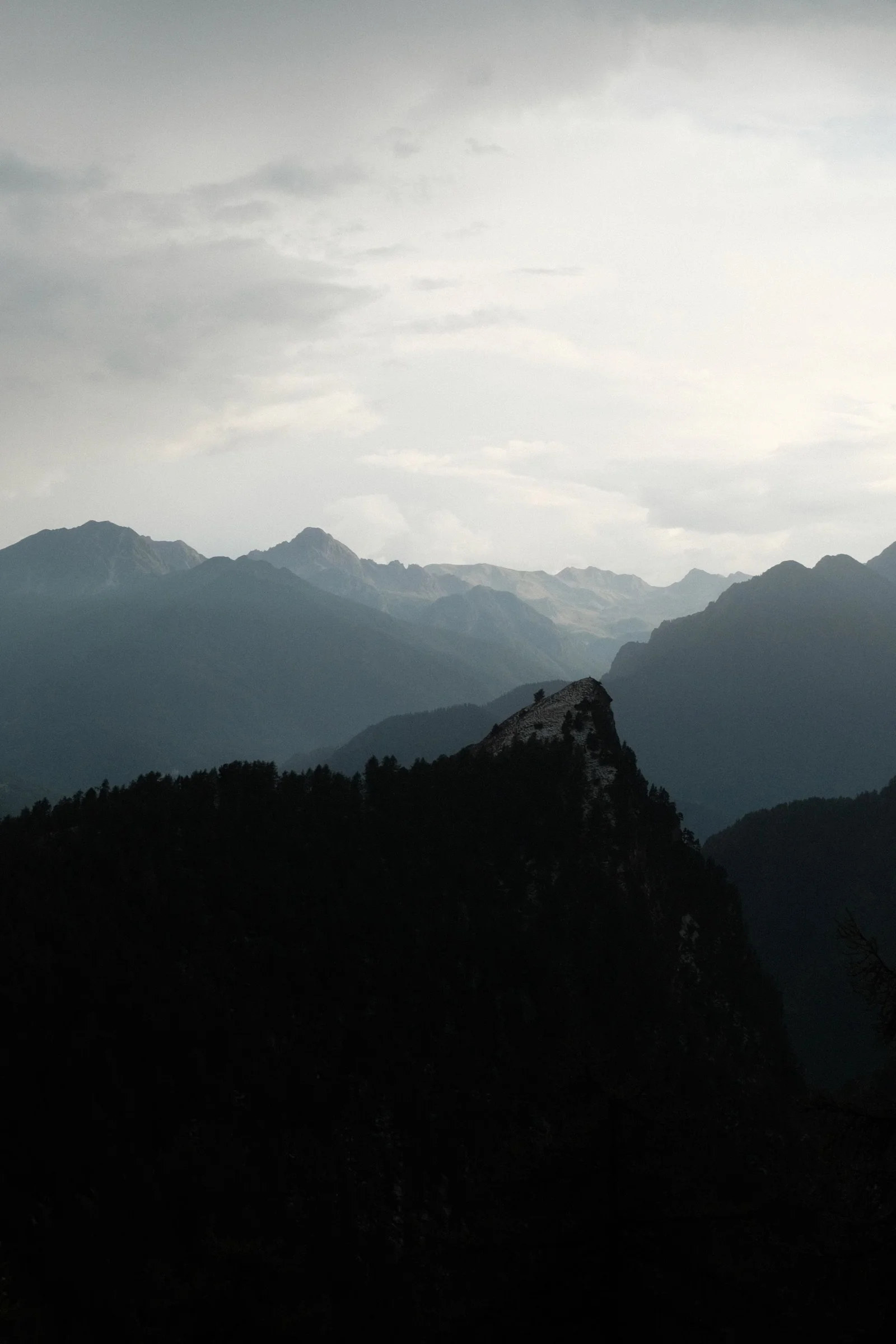
We hit a heatwave right from the start. With temperatures over 35 degrees Celsius, there were moments when we had simply had enough. We joked about dreaming of finally getting freezing cold. We didn't expect that wish to come true so fast. The mountains regularly brought thunderstorms, and on the fourth day, we were caught in hail, snow, and a wall of rain.
Along the way, we tackled mountain passes famous from the Giro d'Italia and Tour de France, rode on old military roads, enjoyed fast descents, Italian pasta, and French pain au chocolat. And at the very end: Monaco, Nice, and a swim in the sea.
But let's start from the beginning.
Day 1: Turin
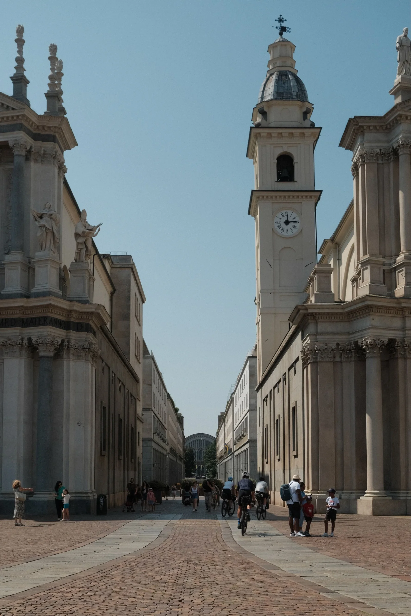
By Saturday morning, we were in Turin with our bikes. We treated the first day on the route as a warm-up. Our goal was to reach Susa so we could start climbing Colle delle Finestre the next morning.
The heat was with us from the very beginning. In Sant'Ambrogio di Torino, we stopped for a quick break at a bar. The owner, a Polish woman who has lived there for years, told us it hadn't rained for weeks and she couldn't remember a summer this hot.
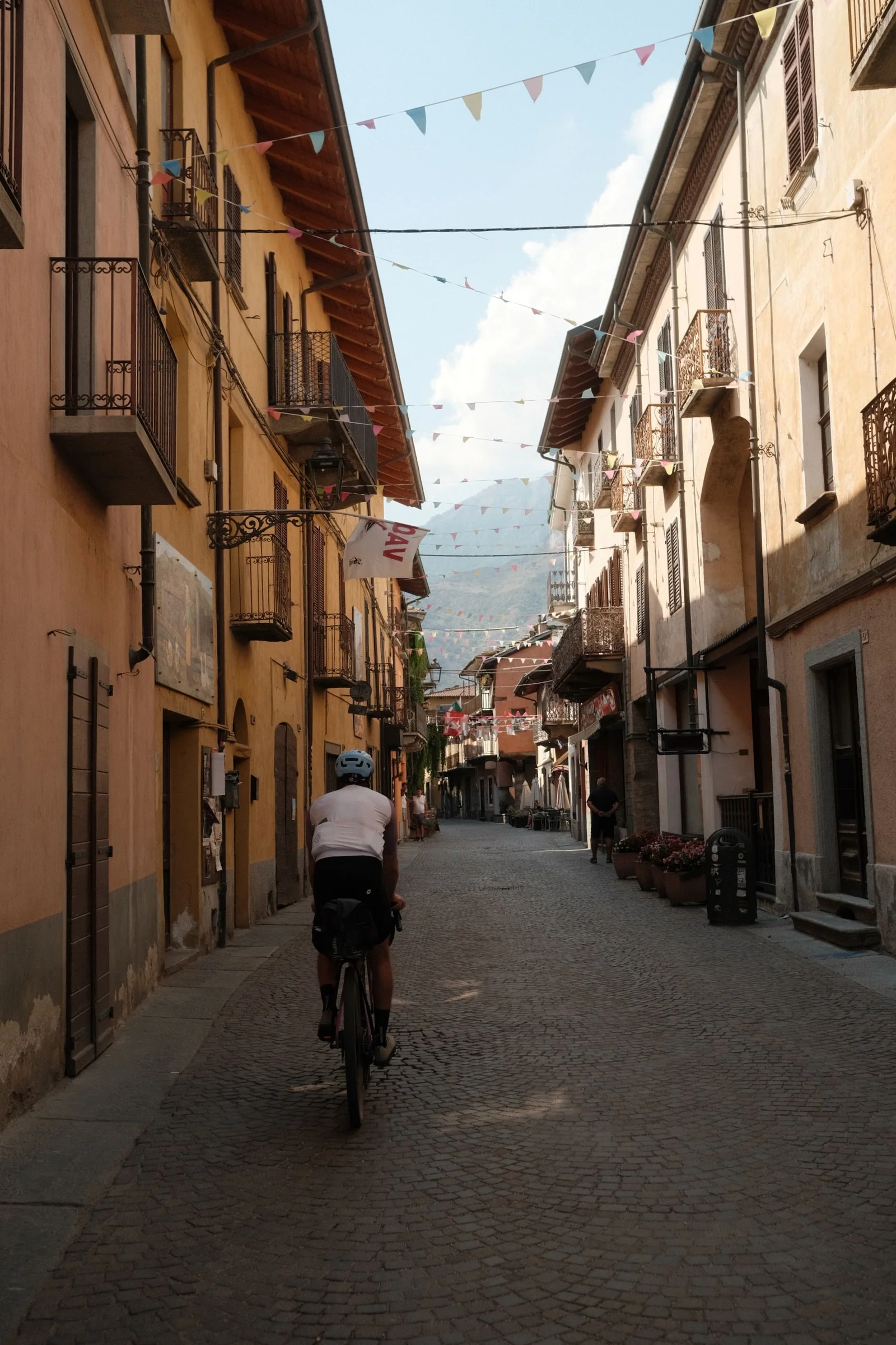
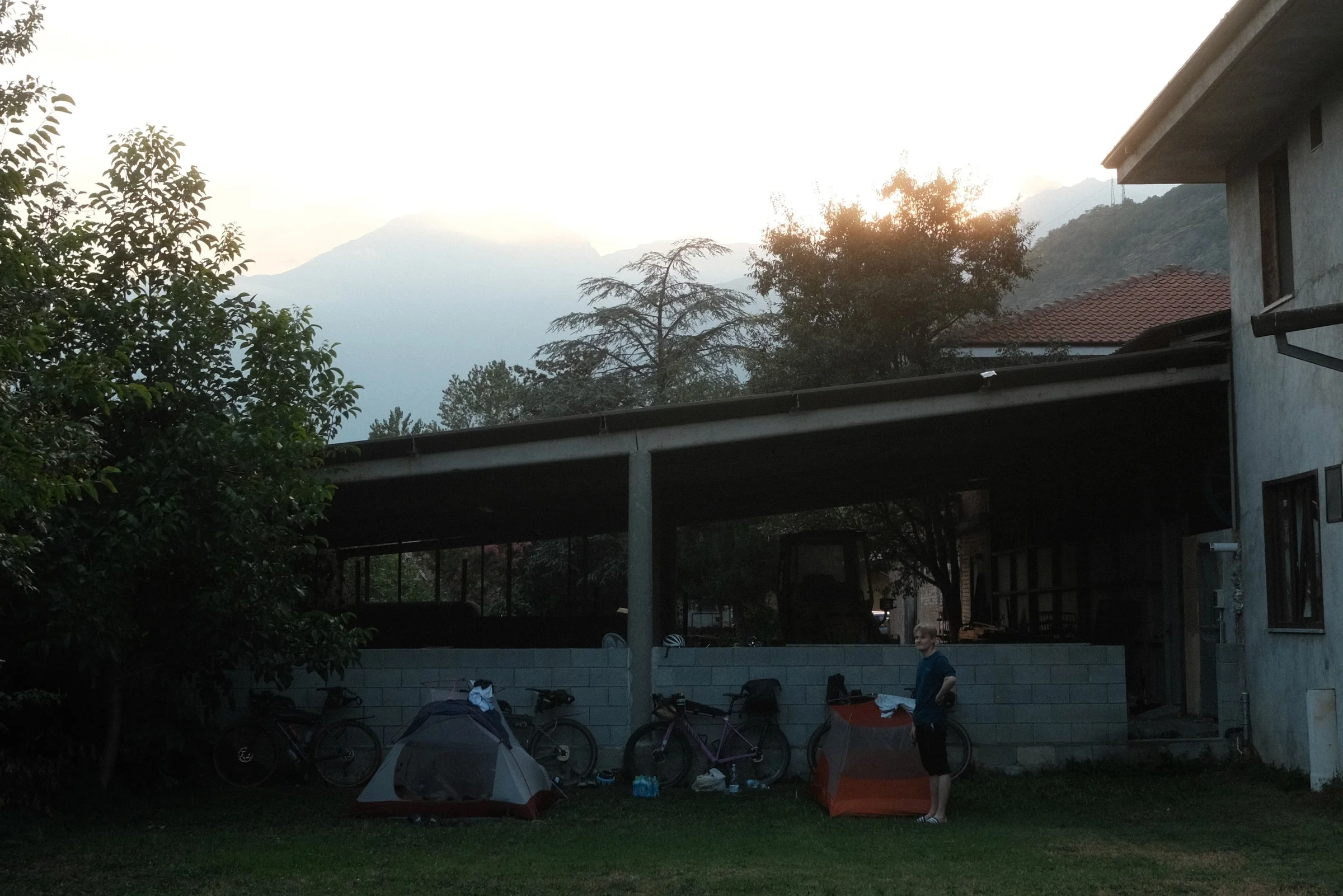
We reached Susa in the late afternoon. There wasn't a campsite nearby, but we found Azienda Agricola San Giuliano, where the hosts let us pitch our tents for free.
Day 2: Colle delle Finestre
We kicked off the day with a Giro d'Italia classic: Colle delle Finestre. We climbed 2,700 vertical meters that day. The first 1,000 meters of the climb is smooth, shaded asphalt. Higher up, it gets raw. You ride into full sun and begin the famous 8-kilometer gravel section. It’s an 18th-century military road that zigzags tightly up to a fortress at the summit. They smooth out the surface for the Giro d'Italia, but normally, it's classic mountain gravel.
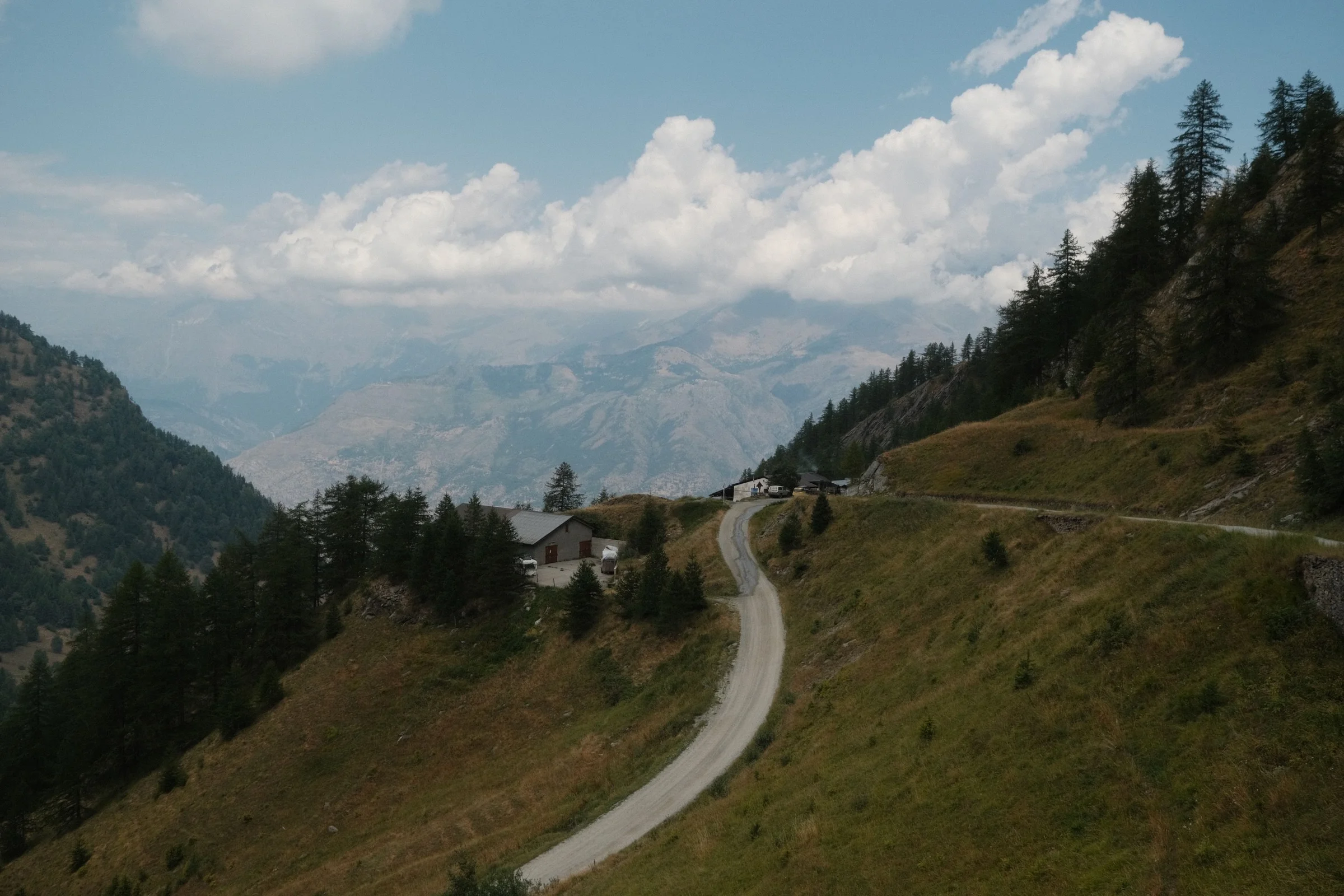
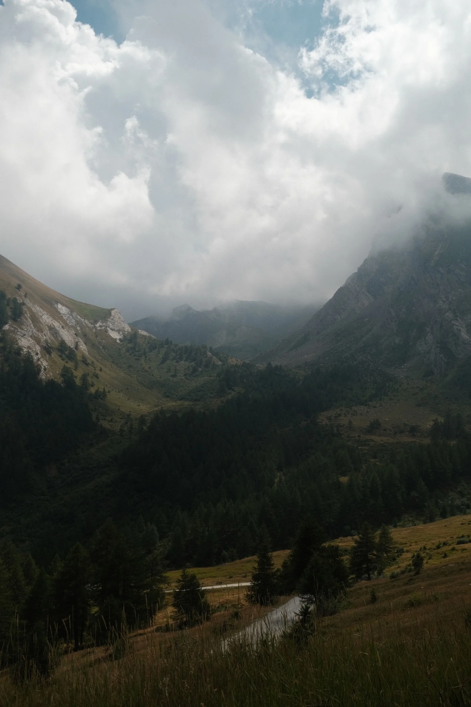
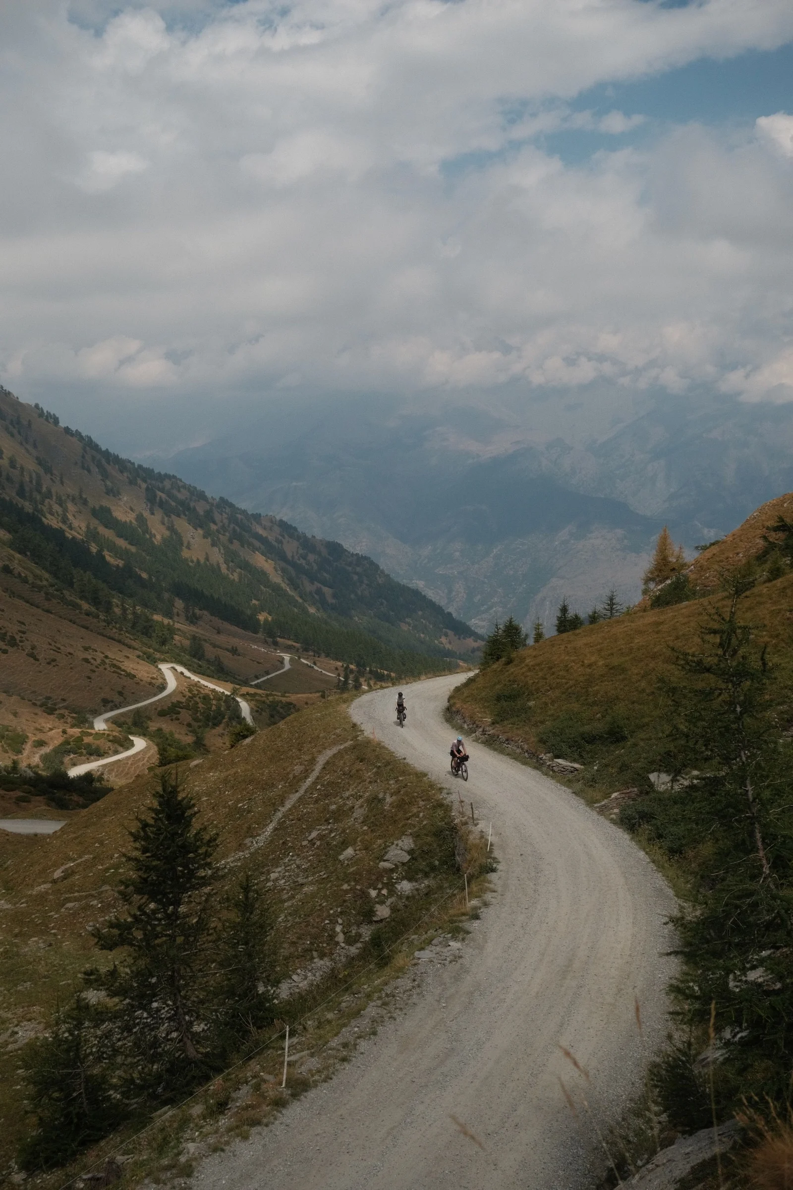
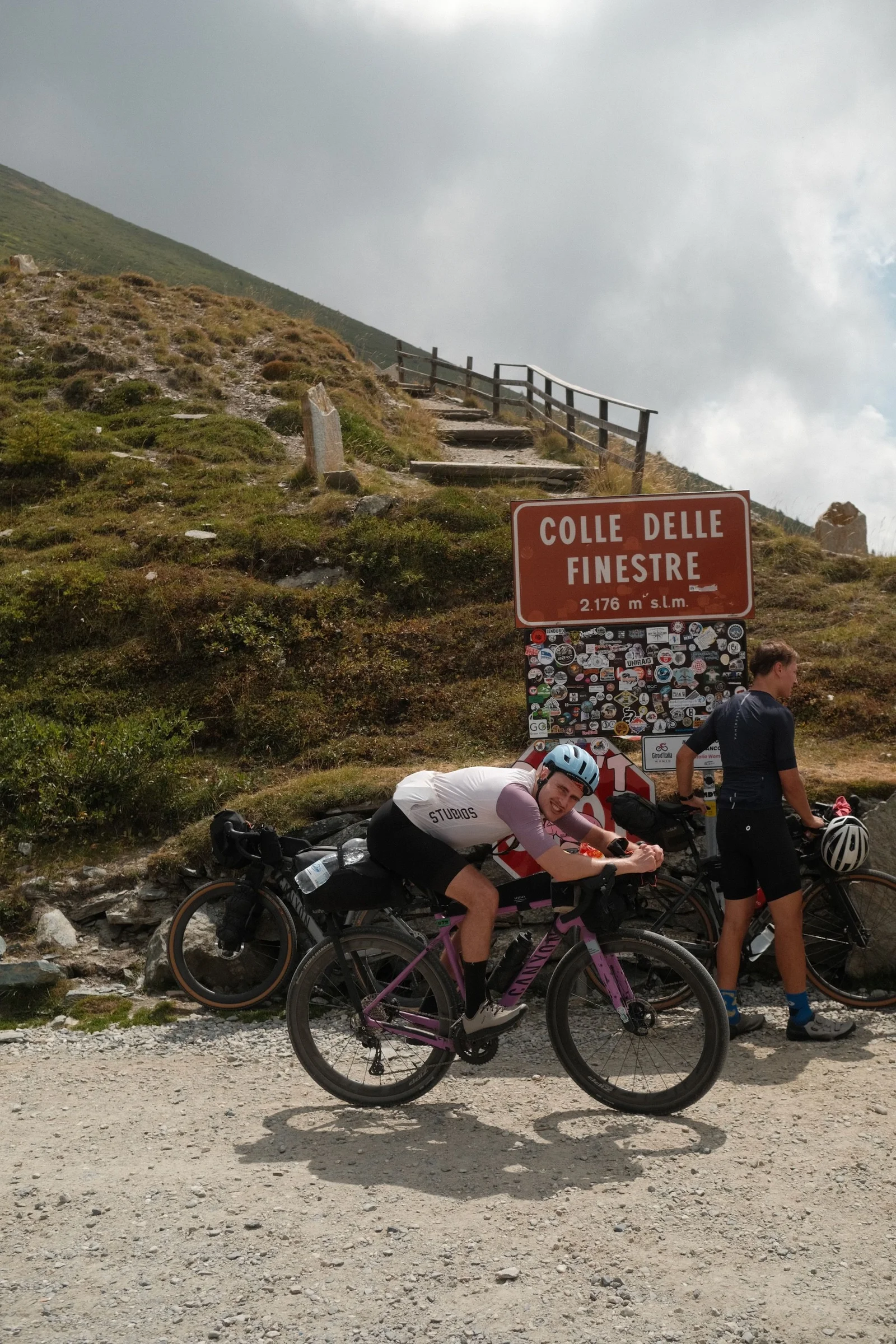
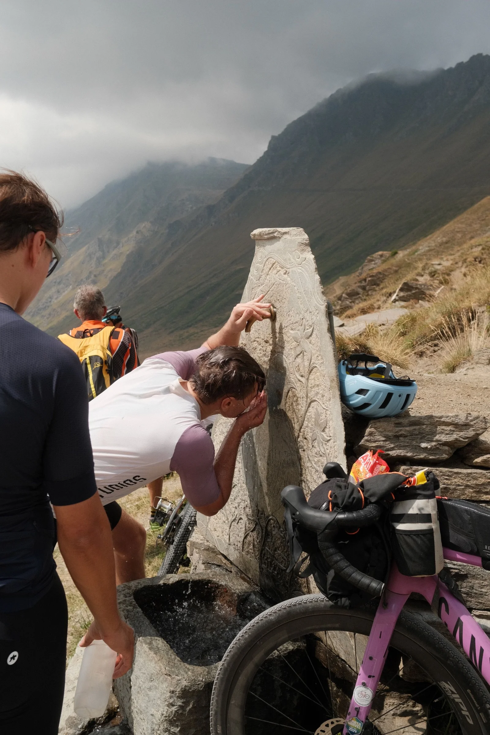
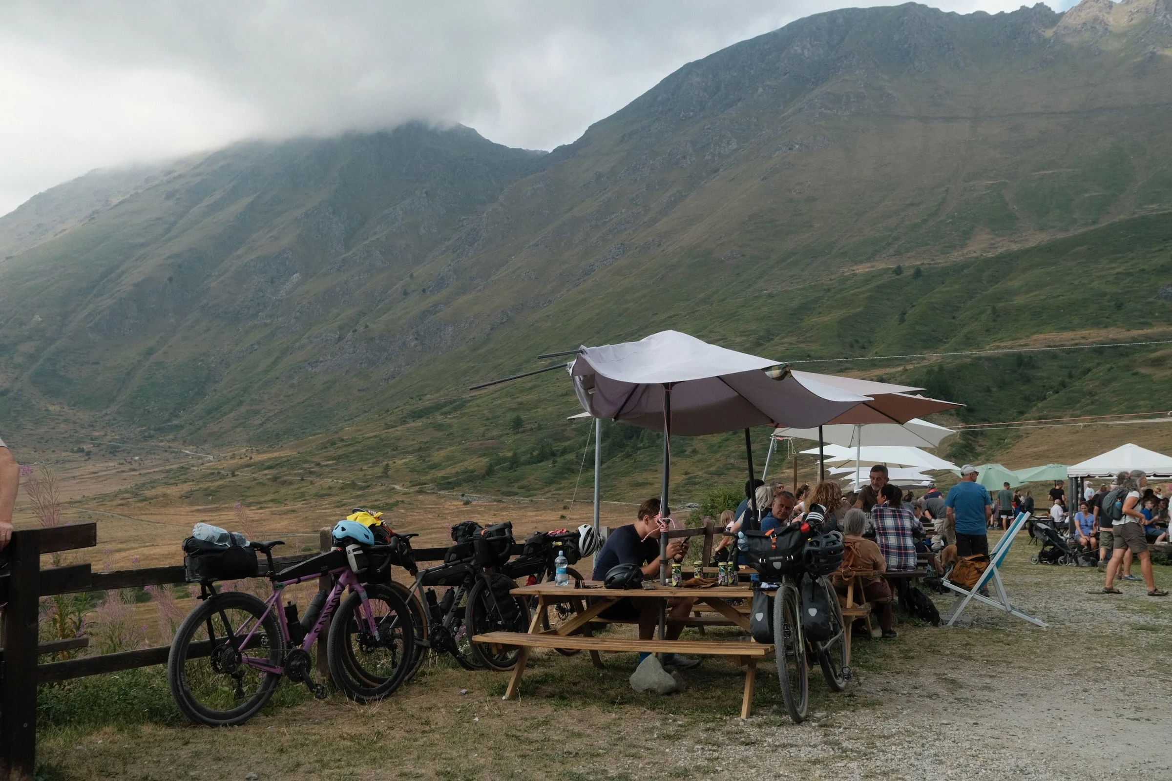
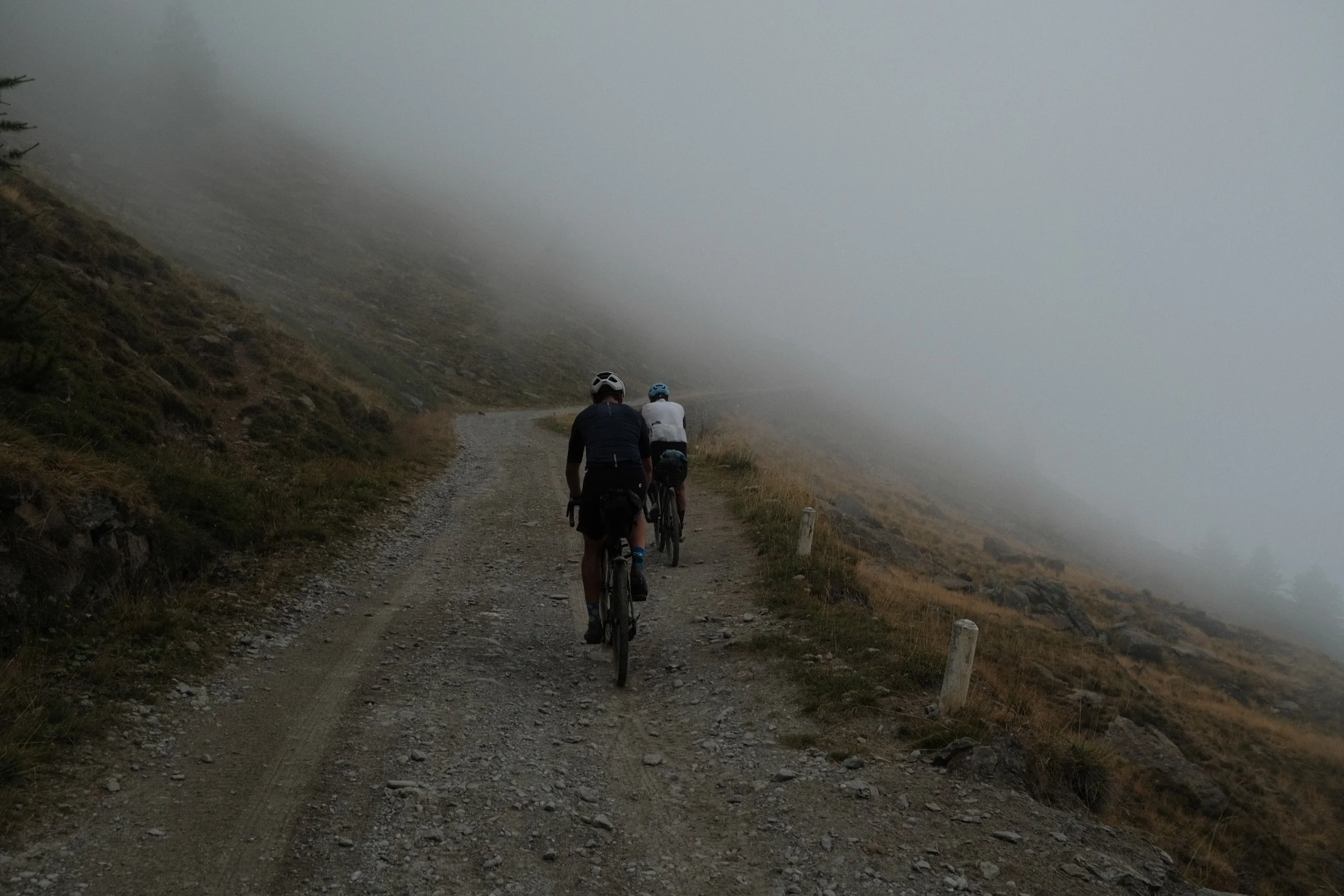
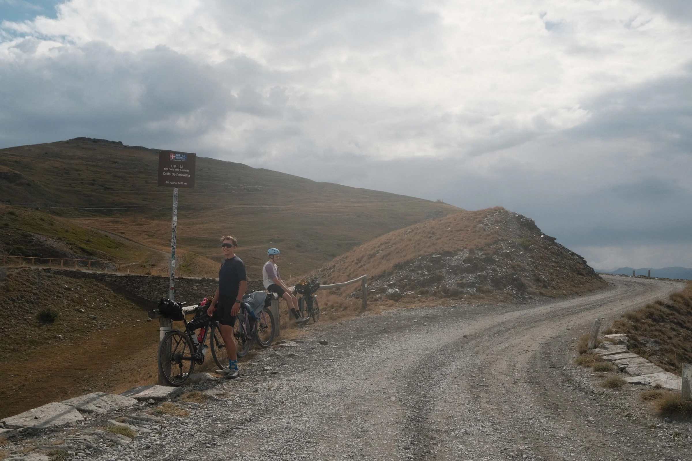
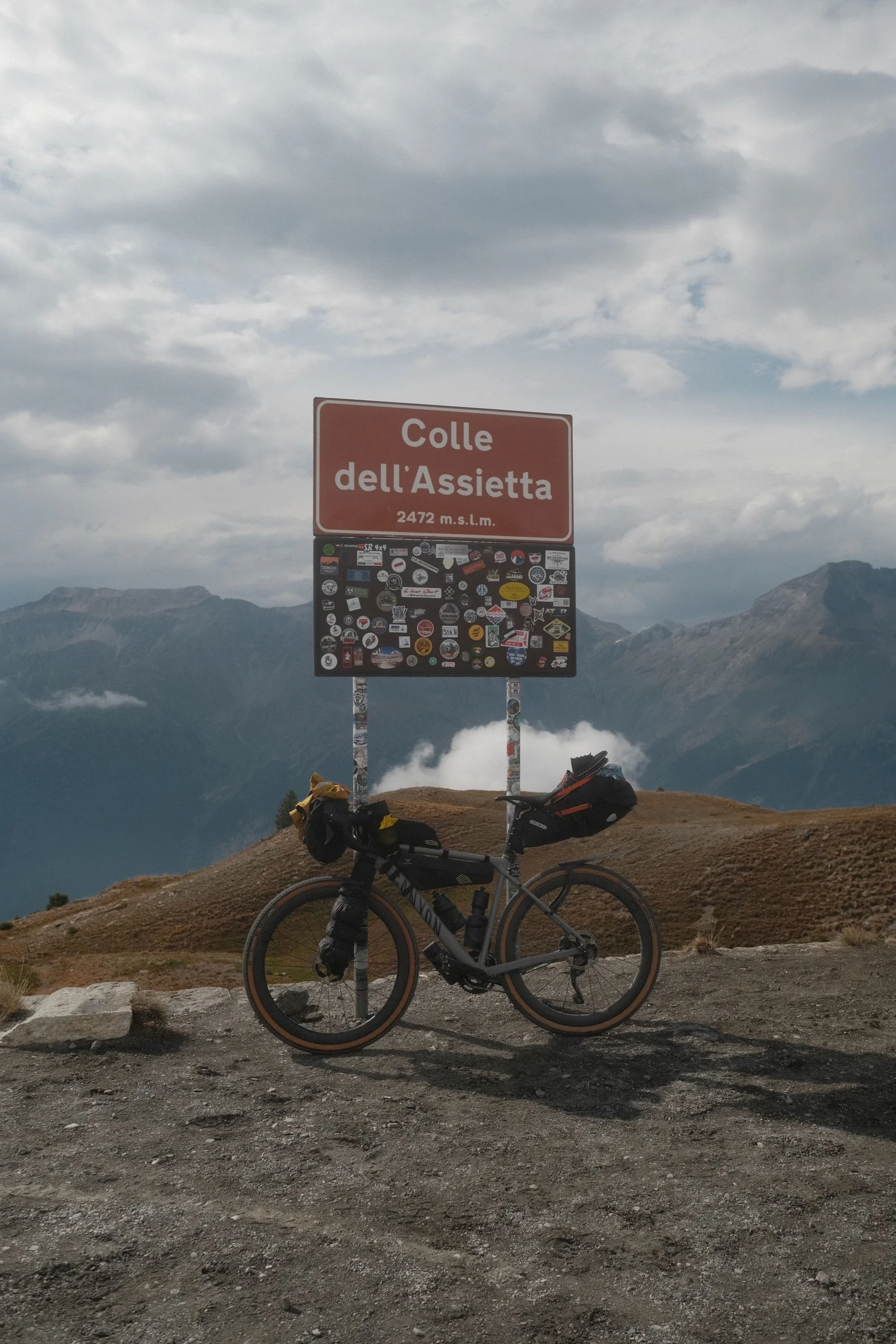
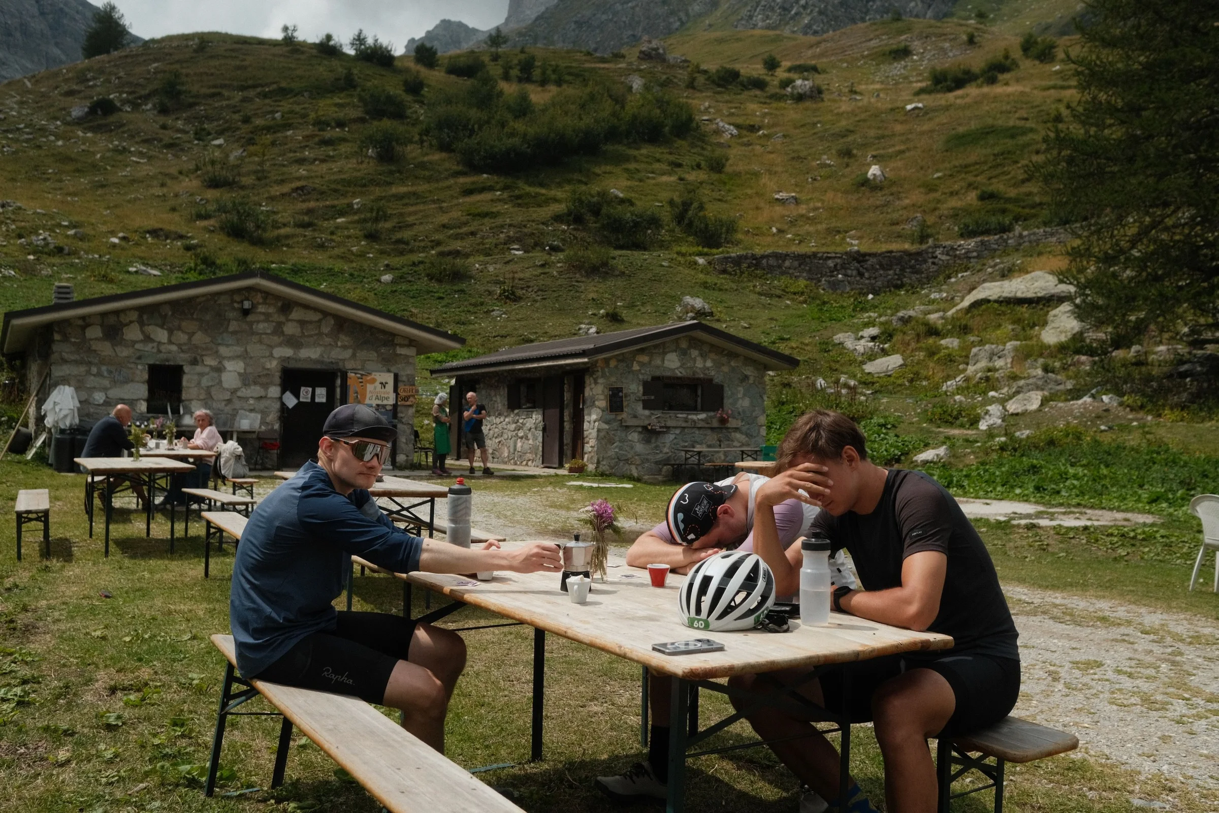
Right after the summit, we stopped at Ristoro Alpe Pintas. After some pasta and espresso, we moved on to a long section across Colle dell'Assietta. The weather changed very quickly. The temperature dropped, thick dark clouds rolled in, followed by passing rain and the first claps of thunder. We rode most of the next climb in the fog.
Strada dell'Assietta is a former military road. It offers nearly 40 kilometers of gravel set high above the valleys, sometimes reaching over 2,500 meters above sea level, weaving between old forts and military ruins. In good weather, the views here must be amazing. We, on the other hand, spent most of our time seeing only a few meters ahead.
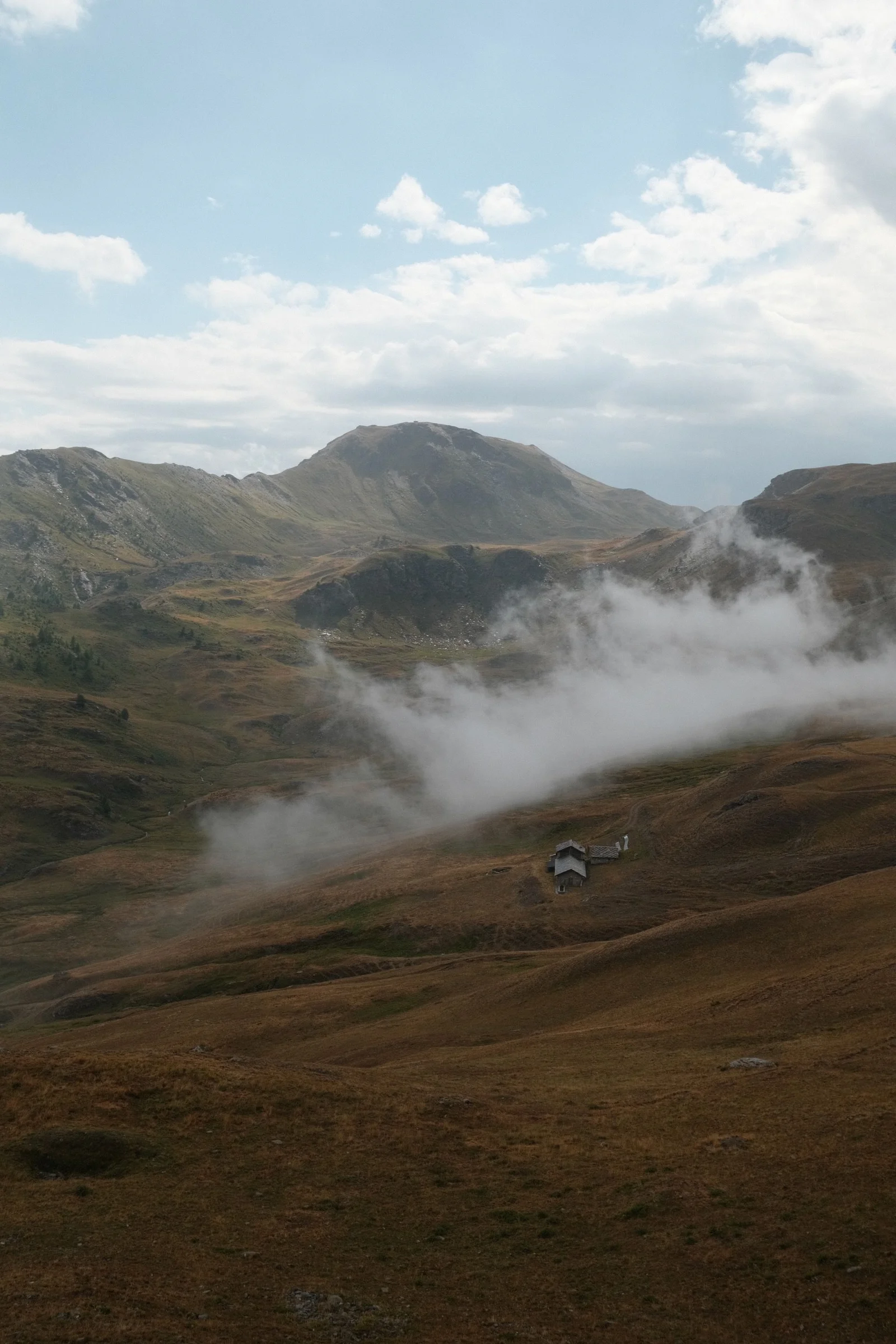
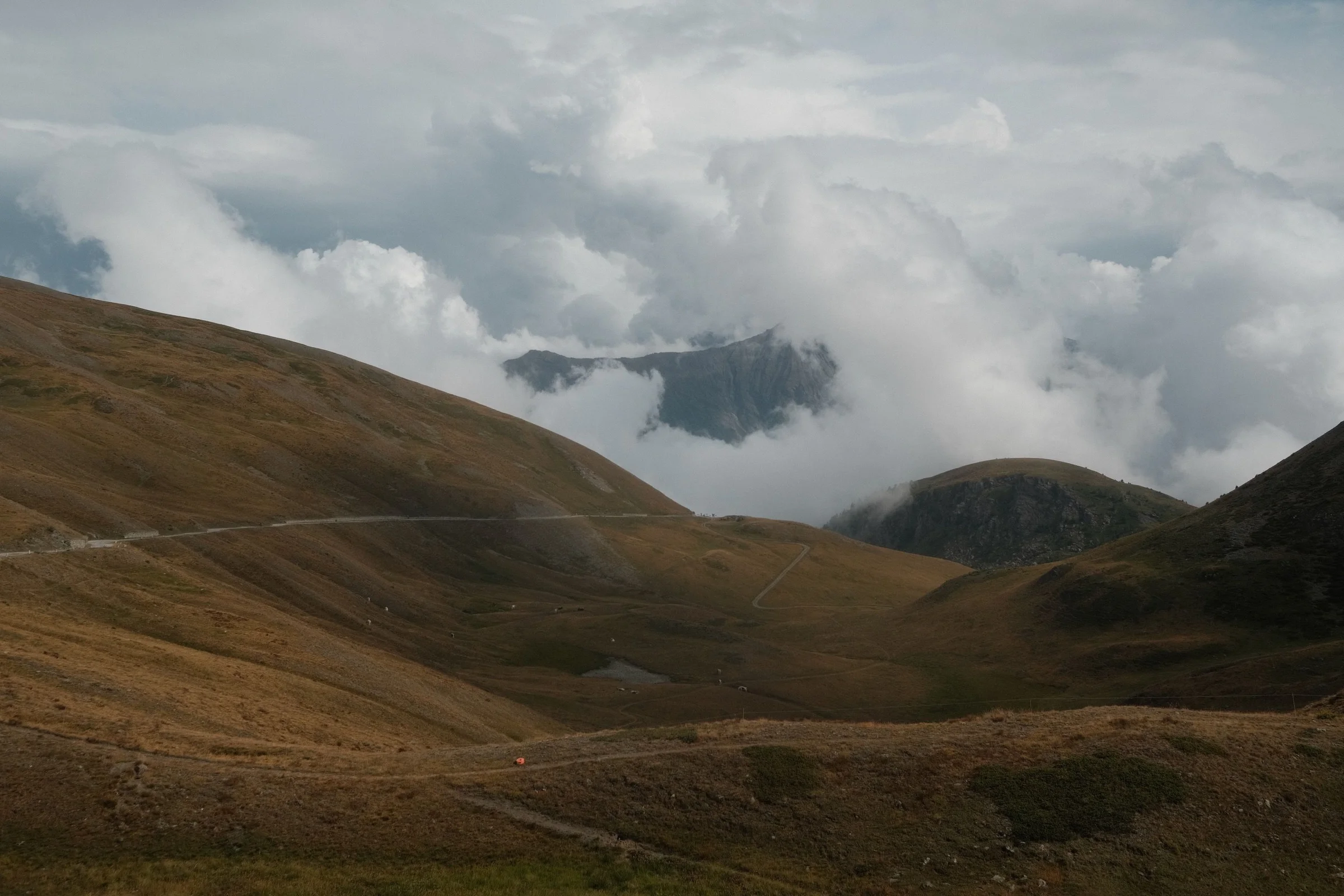
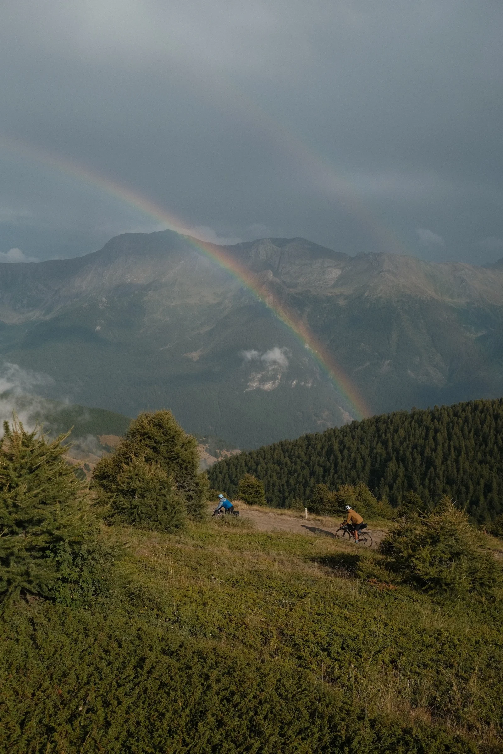
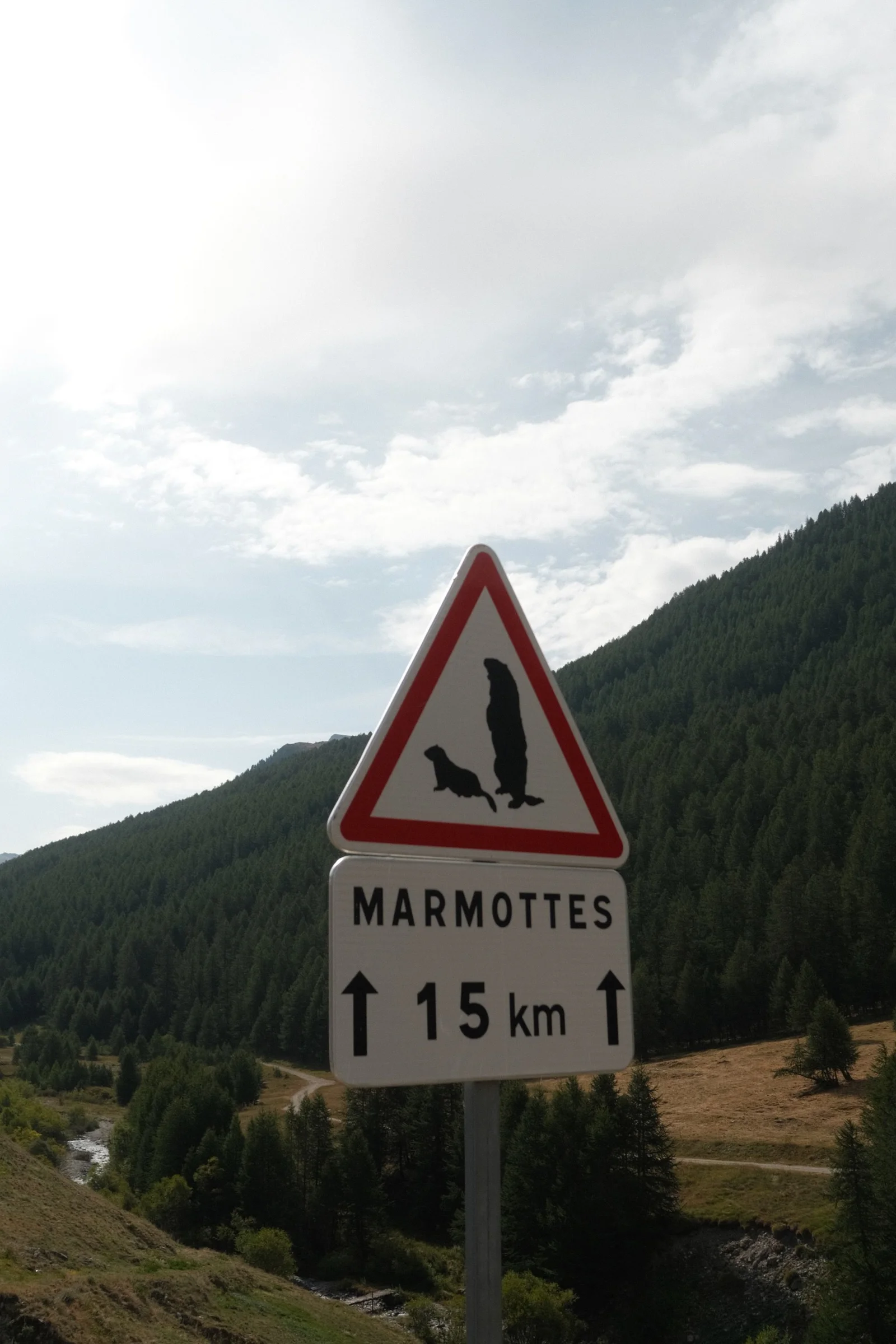
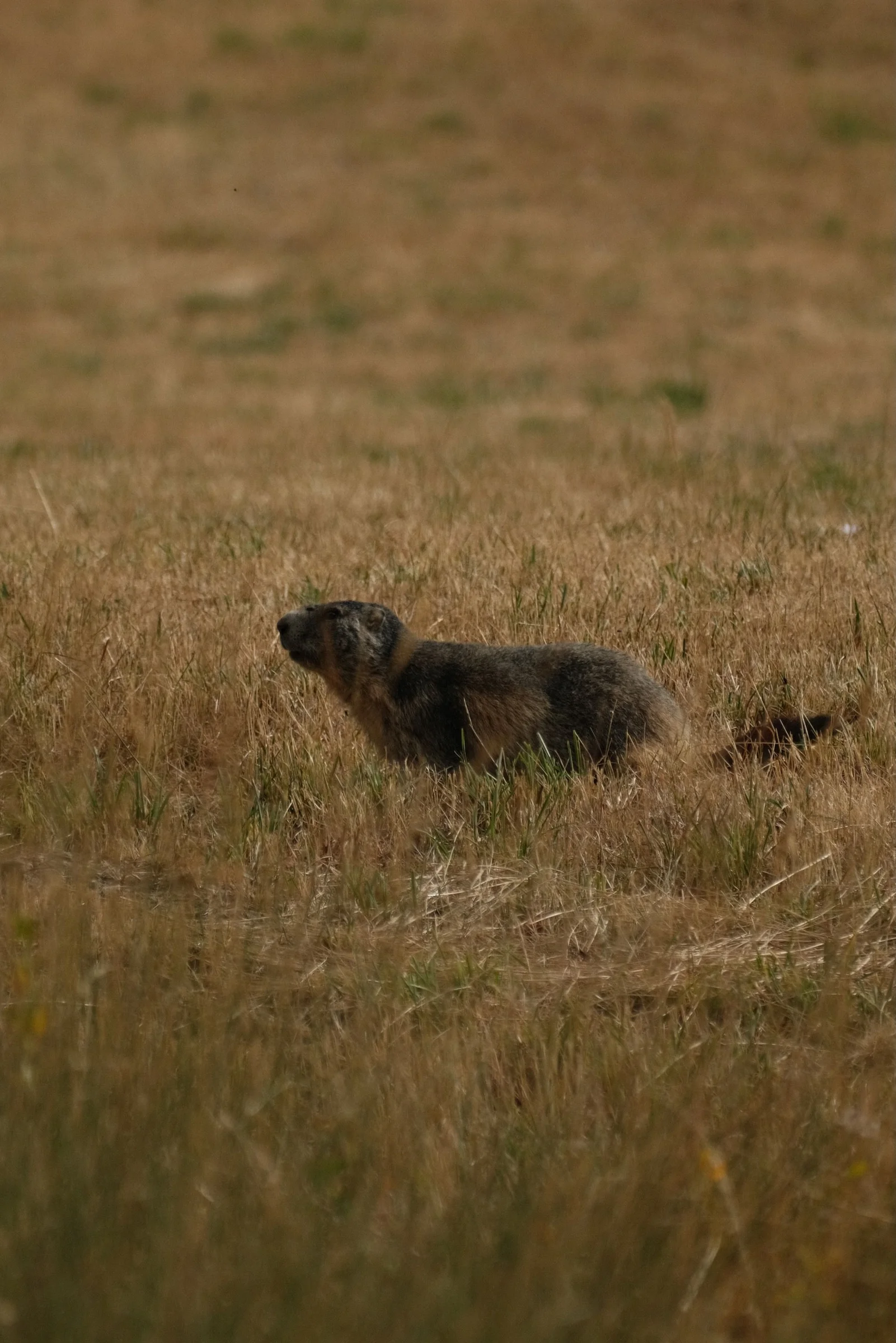
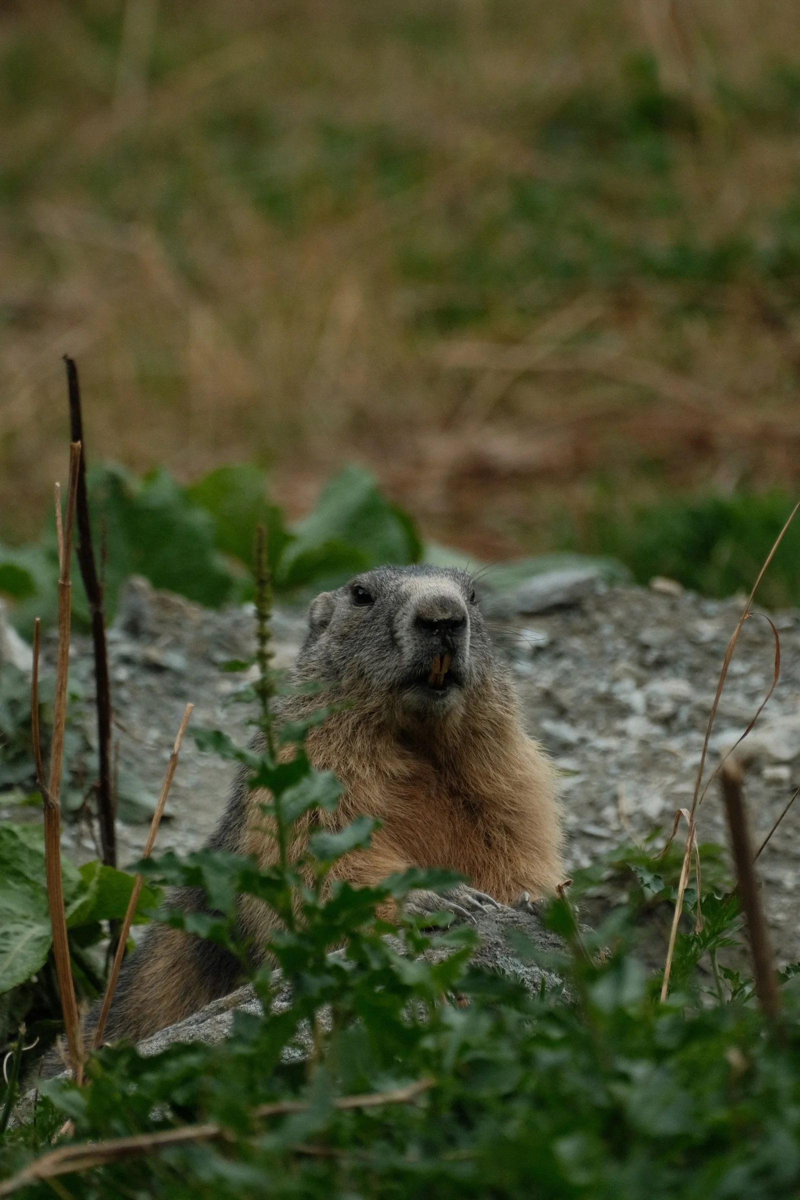
The sky only started to clear up near the end of the route. Marmots appeared on a sunny ridge, while the echo of the storm kept rumbling from the neighboring valley.
We descended into Sestriere in the late afternoon. Pizza, a hotel, and smiles all around. With the stormy weather, no one wanted to camp. After all, there is nothing worse than packing a wet tent in the morning.
Day 3: Welcome to France / Col d'Izoard
We started the day with a descent from Sestriere. Over 10 kilometers with an average speed of 52 km/h! Then came a short, 300-meter climb, and we crossed into France for the first time. We would cross the border a few more times over the following days.
Another long descent led us to Briançon, where we stopped for a French breakfast: a croissant, pain au chocolat, and coffee. After that, we were ready for one of the most beautiful climbs of the whole trip: Col d'Izoard.
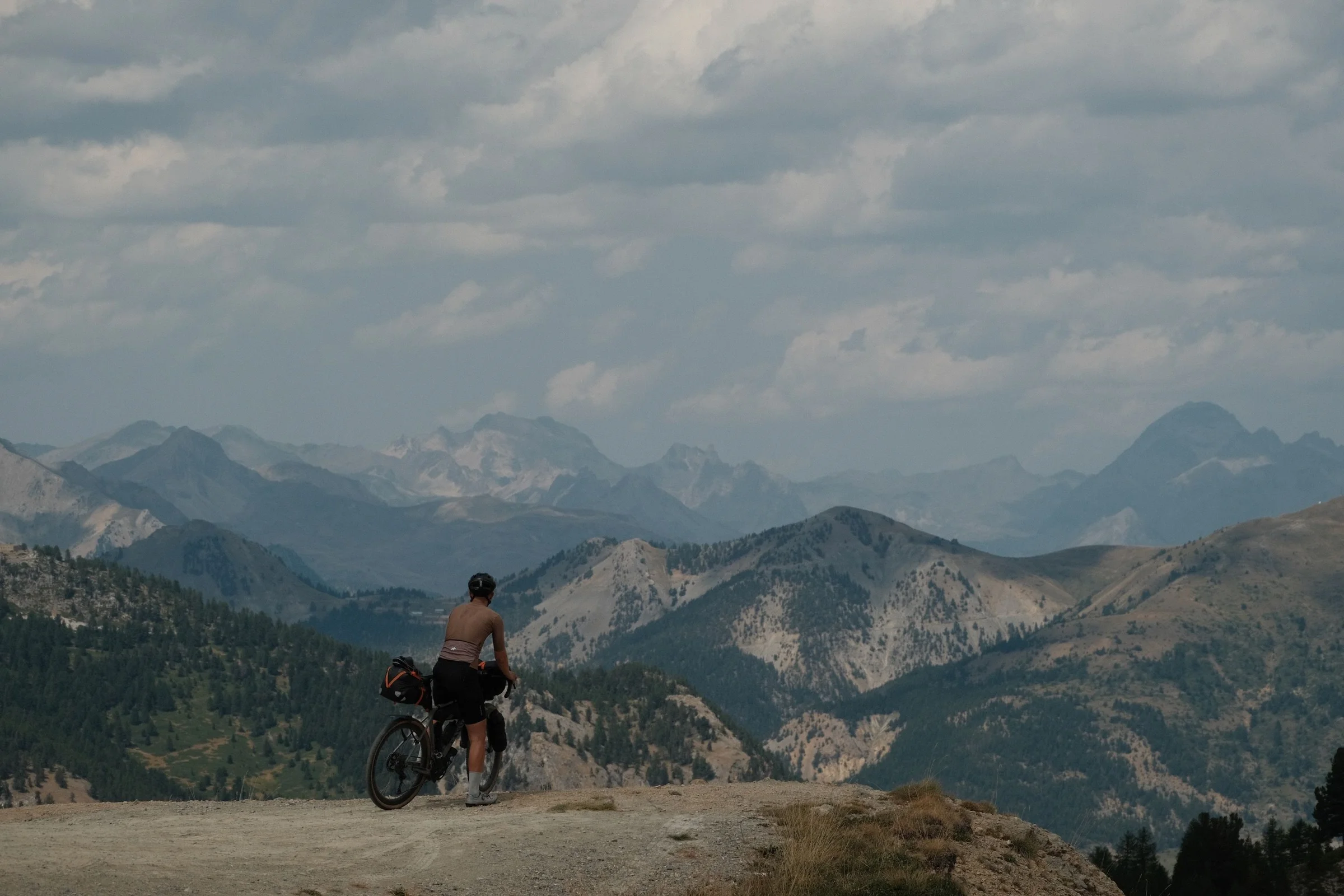
The higher we got, the better it felt. The climb was long, but public water fountains made it easier. We refilled our bottles on the go, avoiding carrying unnecessary weight.
Col d'Izoard is impressive, but the best part begins right after. The descent takes you through Casse Déserte, a lunar landscape filled with rust-colored rocks and sharp stone spires. Further down, the road opens up to a valley, starting a long, fast descent through Arvieux. On one beautiful straightaway, we reached 80 km/h.
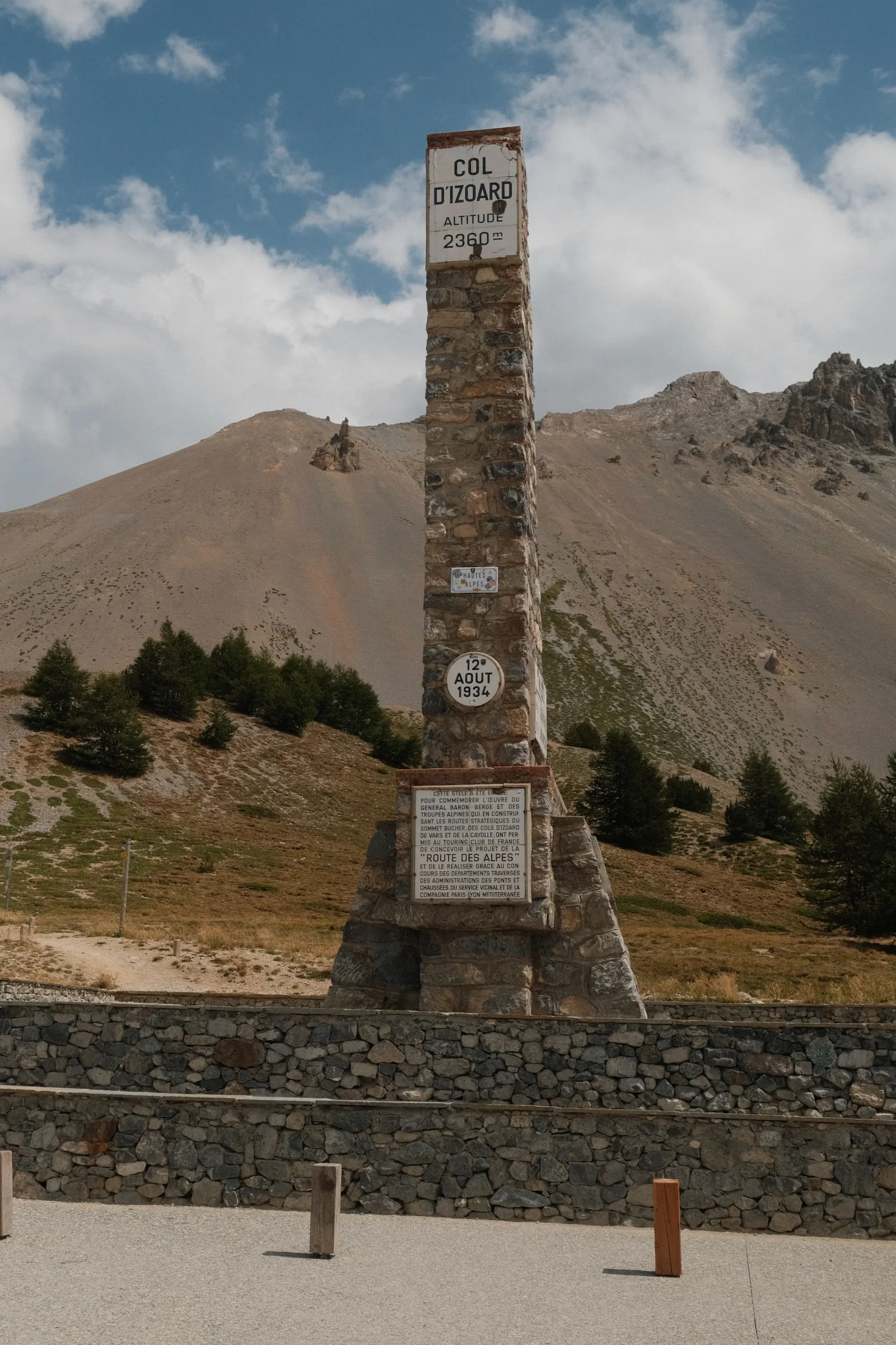
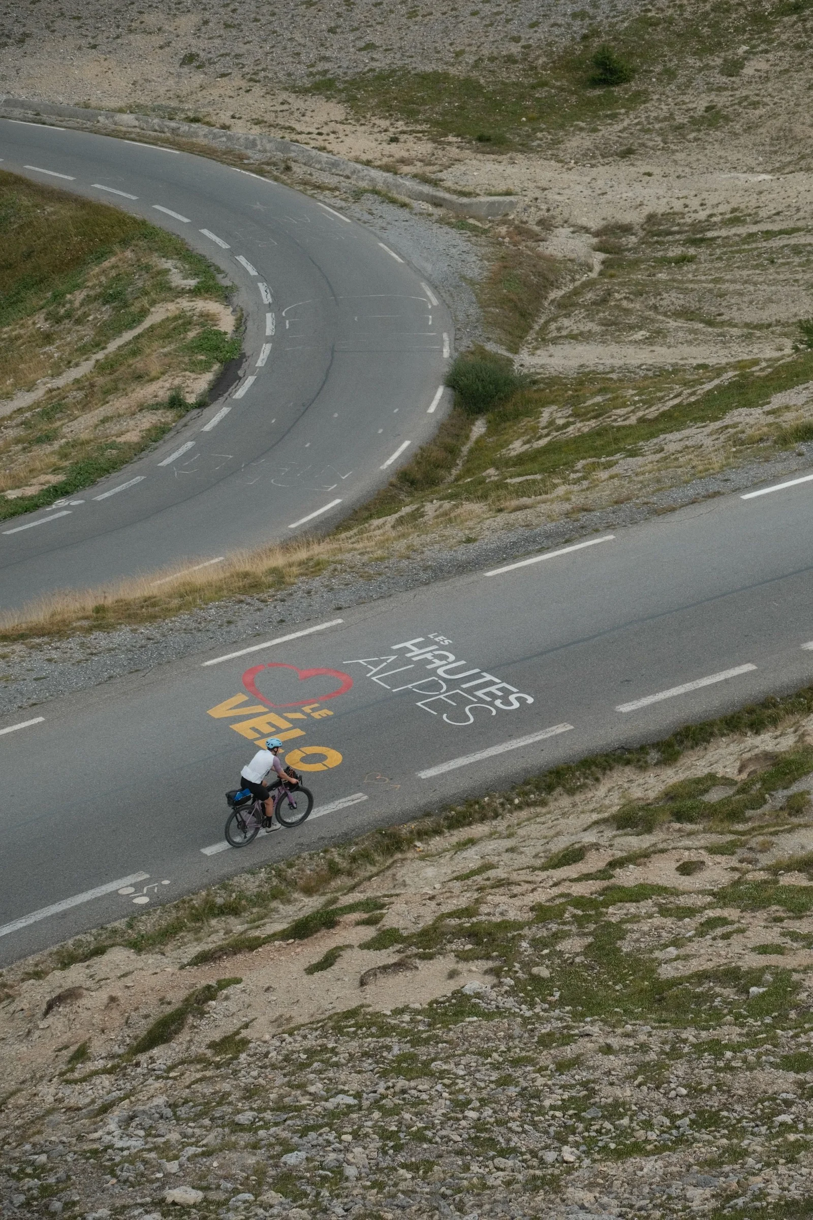
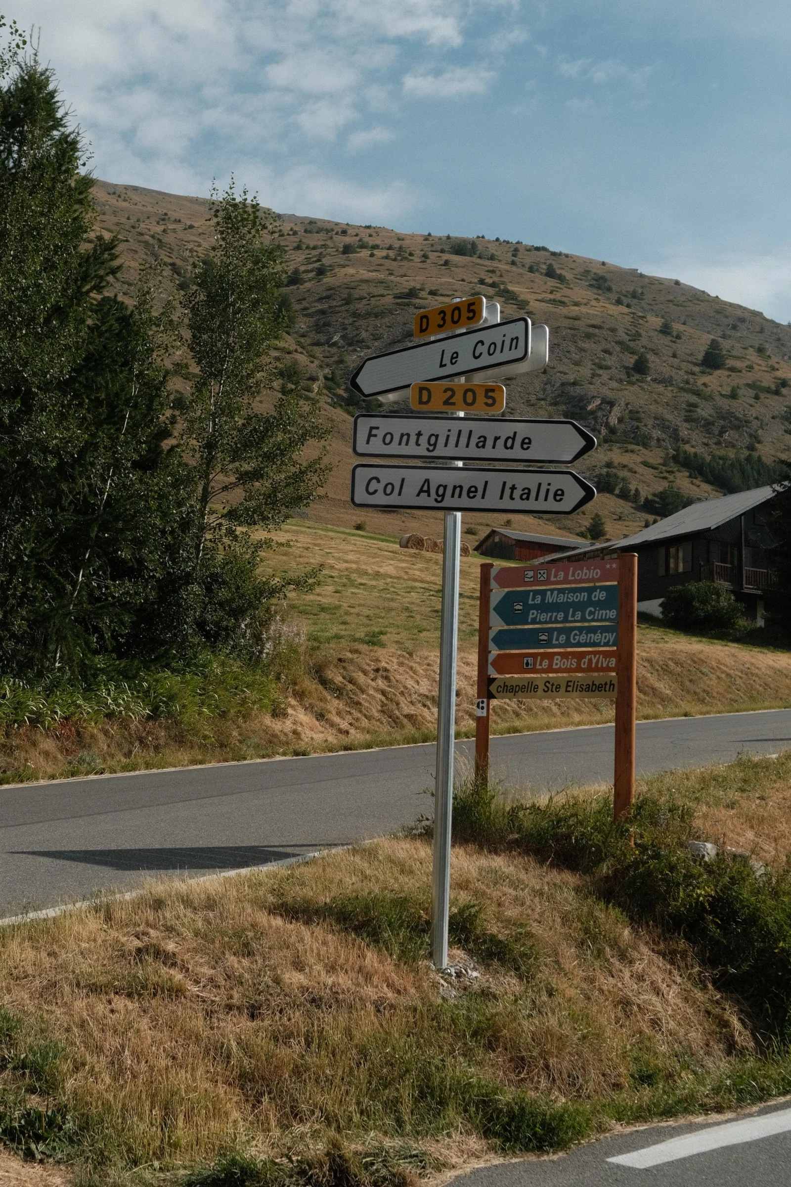
Down in the valley, we had a quick bridge meal and set off for the final 500 meters of climbing that day, heading toward Col d'Agnel. We spent the night at a charming campsite, with a view of the valley leading up to the pass and a mountain stream running right through the middle. A pizzeria nearby and cold French craft beers on site - we were in heaven.
Day 4: Col Agnel
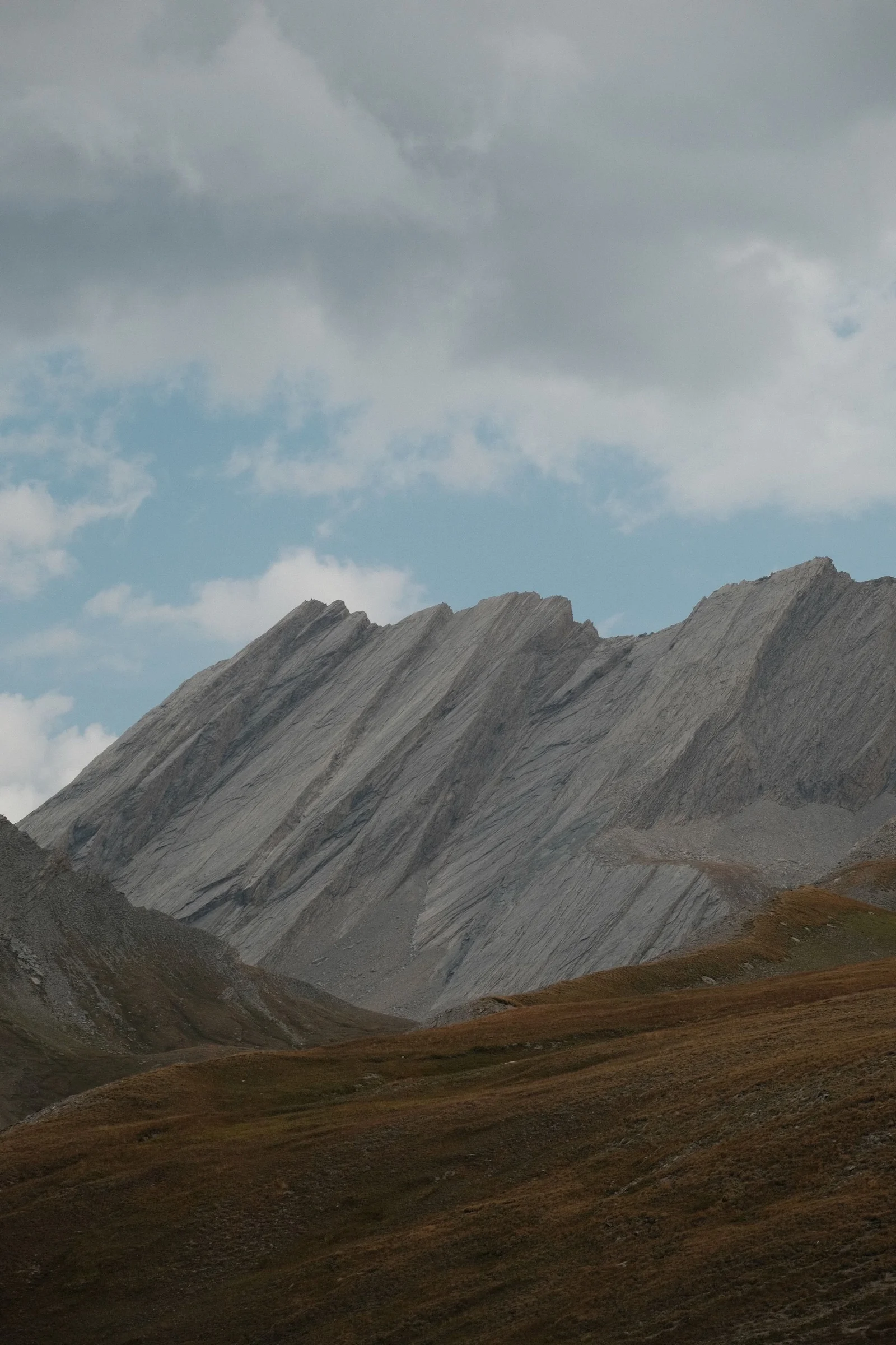
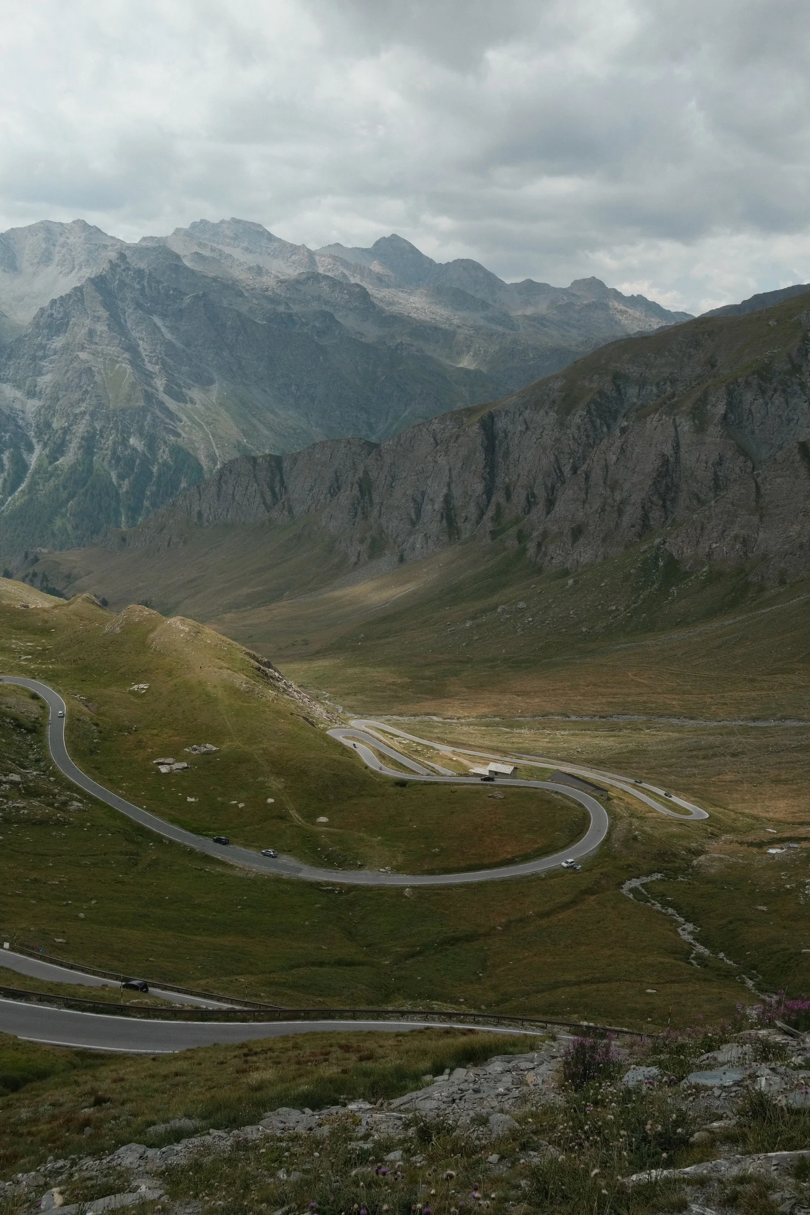
We began the day climbing Col Agnel. At 2,744 meters, it's the highest paved border crossing in Europe and the highest point of our entire route. There were a lot of people at the top, a brilliant panorama, and a famous photo spot right on the French-Italian border. We rested for a moment before starting a long descent.
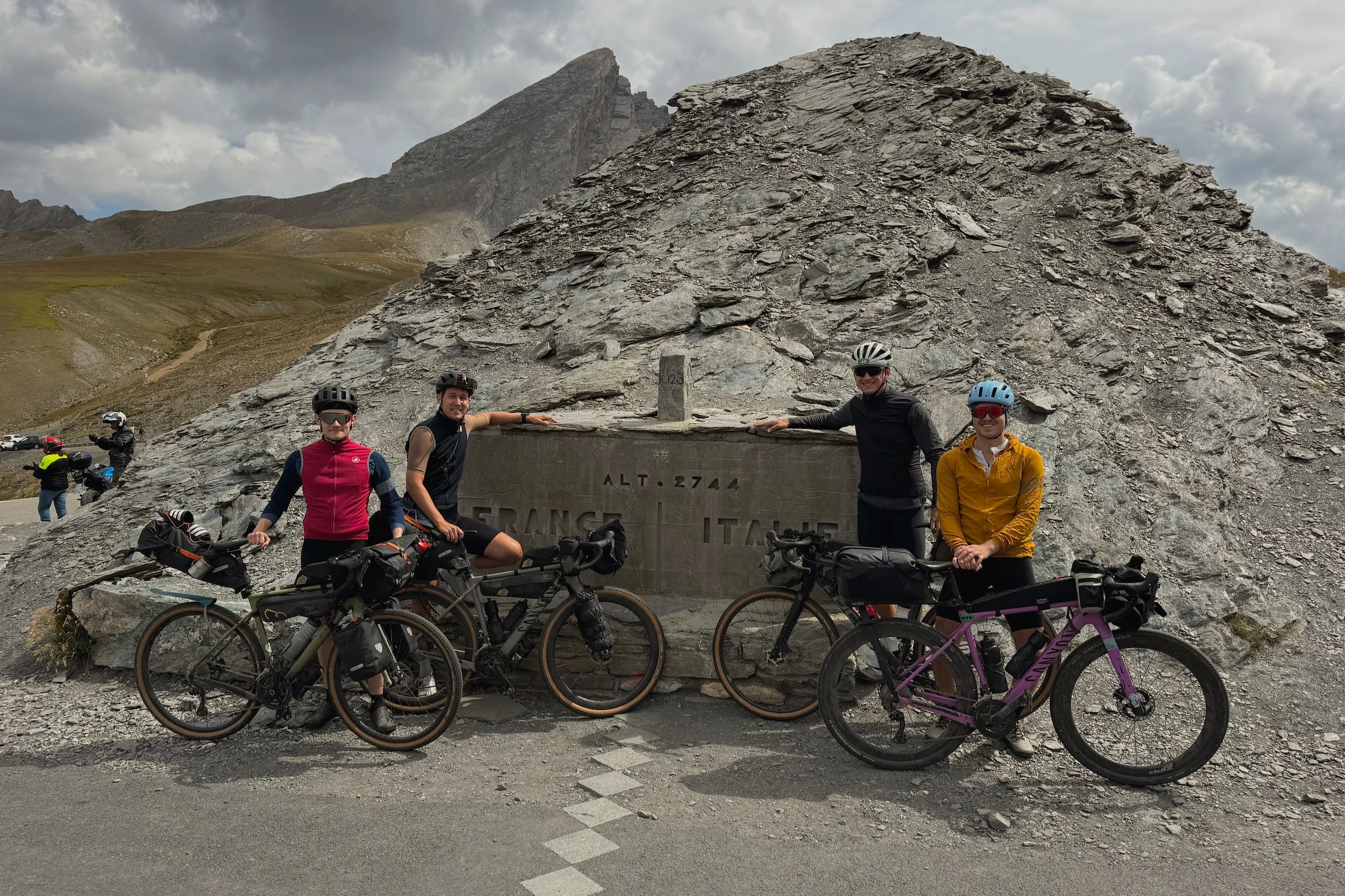
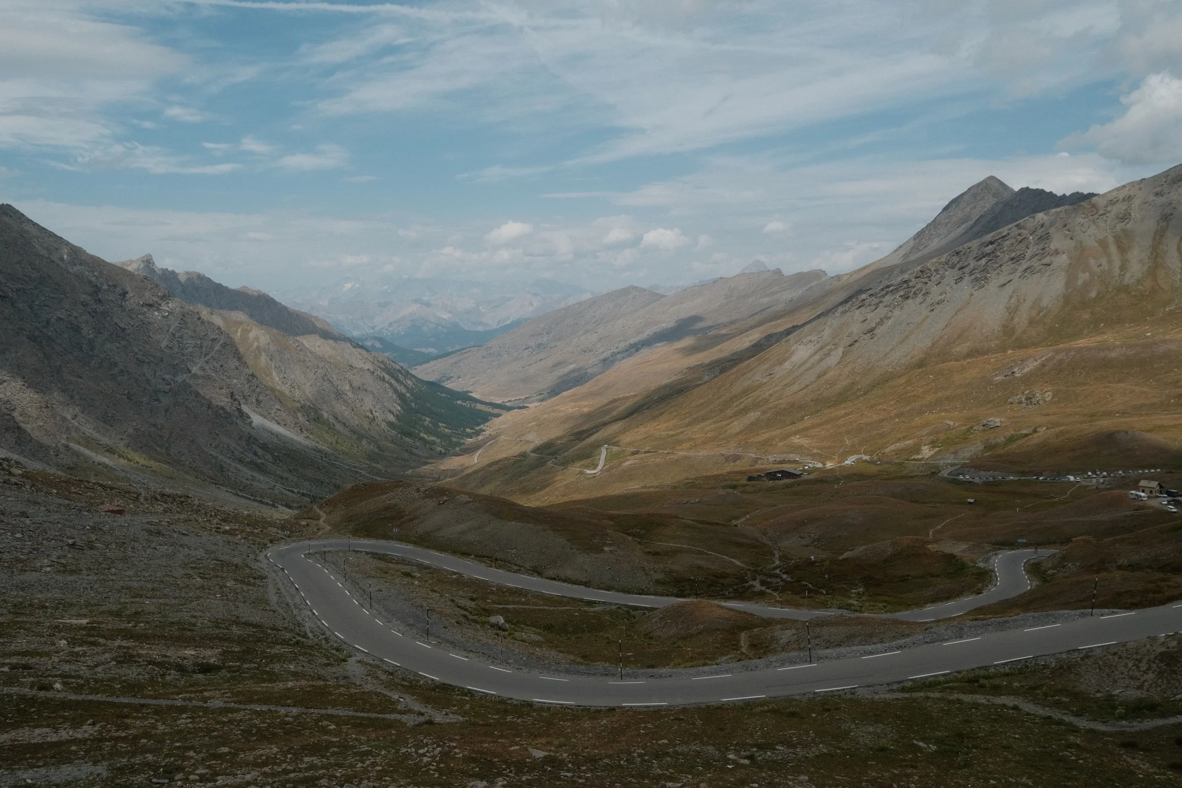
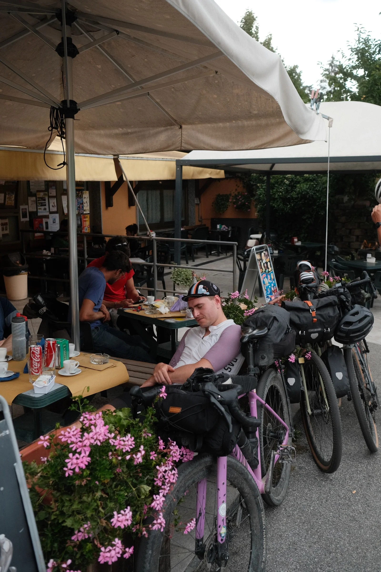
In Sampeyre, the stuffy valley air quickly gave way to a downpour. We waited it out in a restaurant for over two hours, tracking weather radars. After our third espresso, a weather window appeared, so we hit the road... but you can't cheat mountain convection.
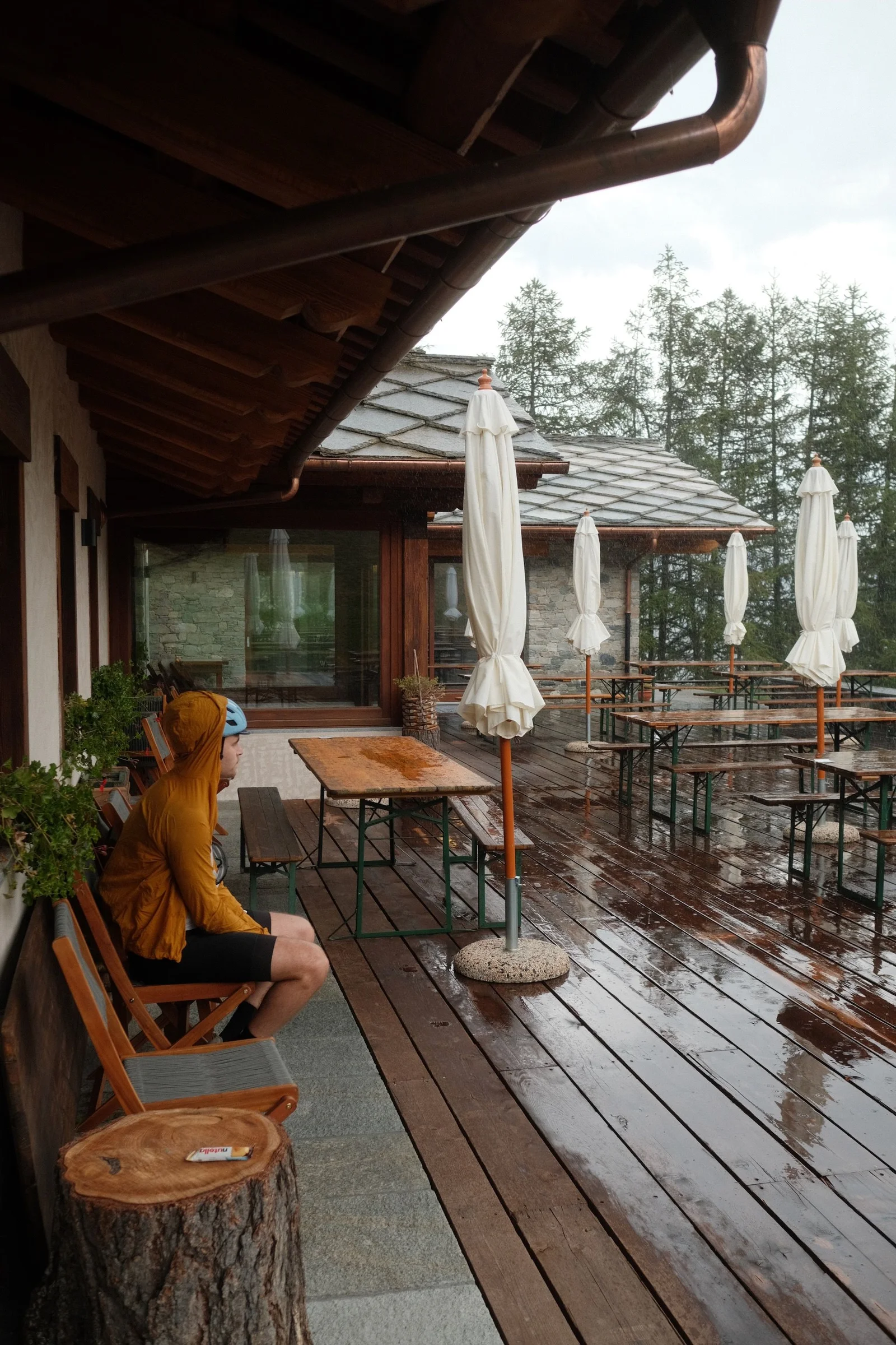
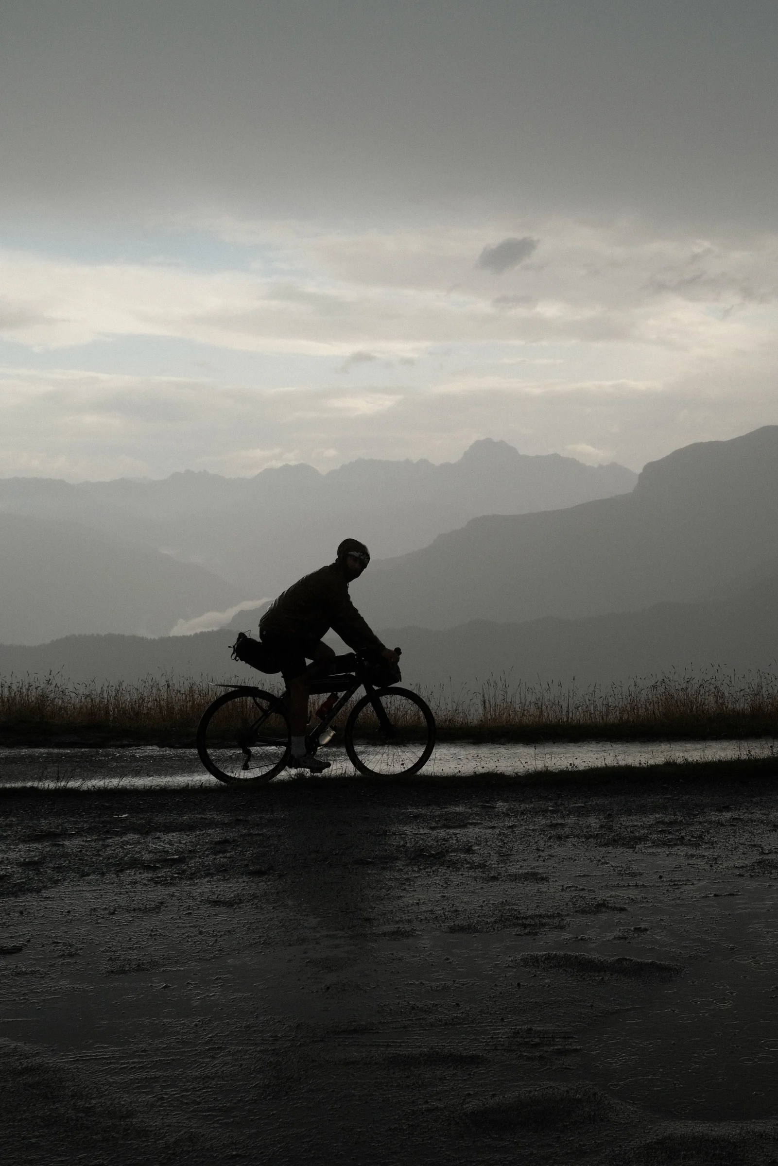
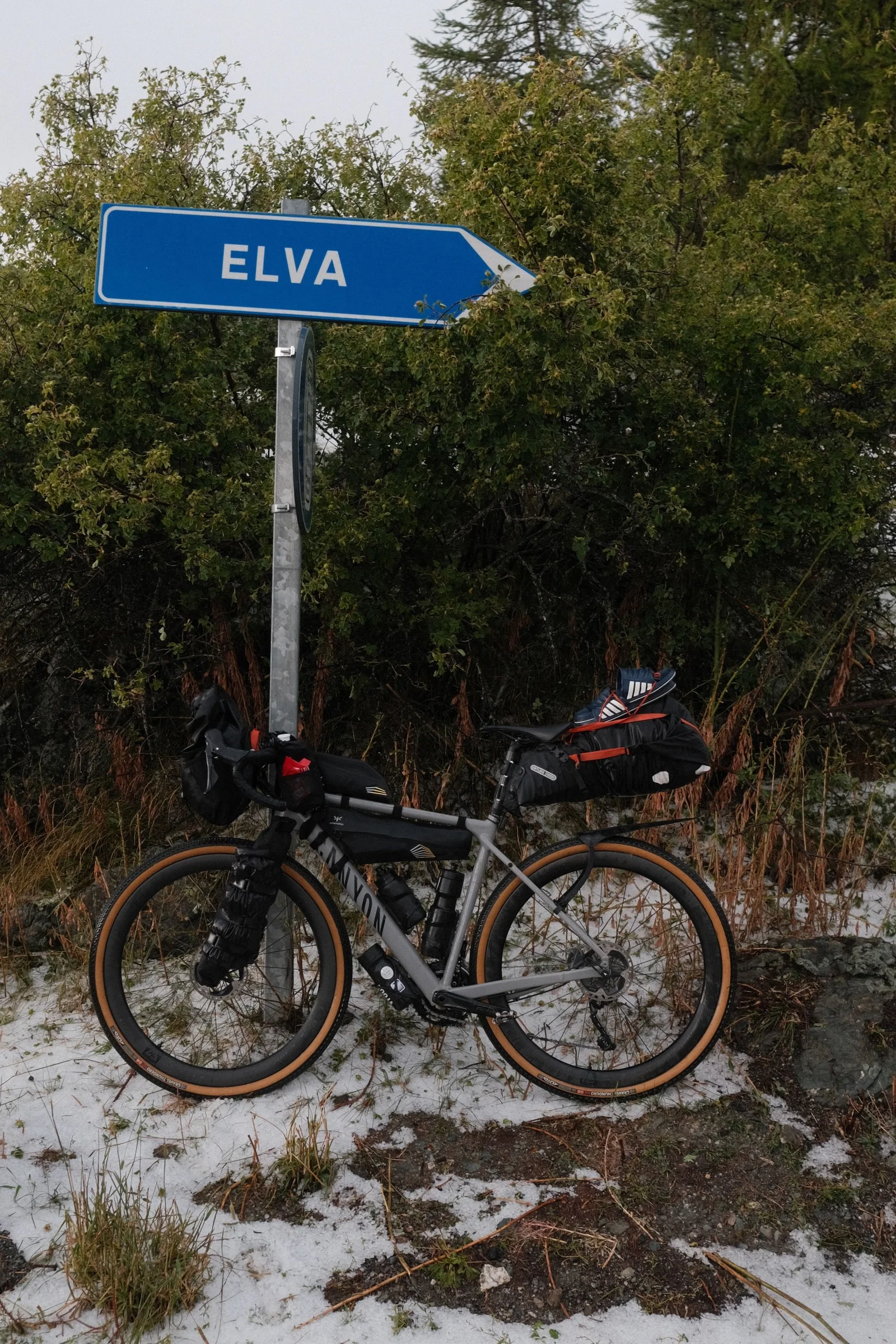
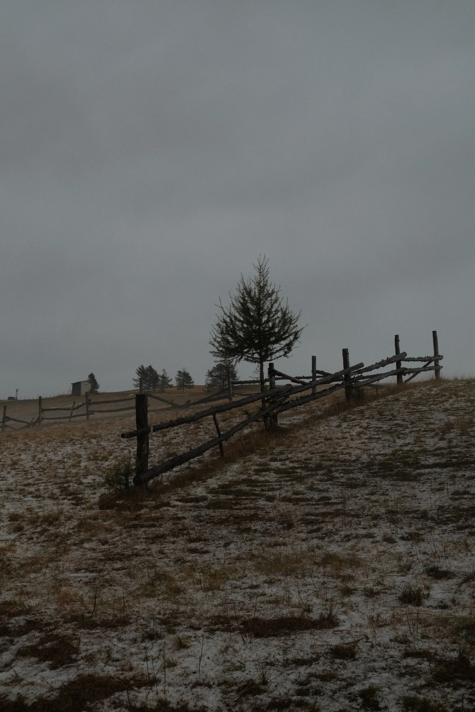
After just 450 meters of climbing, it started raining again. We took shelter in a ski resort lodge. When the rain slowed down, we kept going, but a hundred meters before the pass, we rode straight into a wall of water that turned into hail on the other side.
Soaked and freezing, we rode down to the first available farm stay (Alpes d'OC Agriturismo) in a small town. A delicious dinner and some wine saved the evening.
Day 5: Marco Pantani on Colle Fauniera
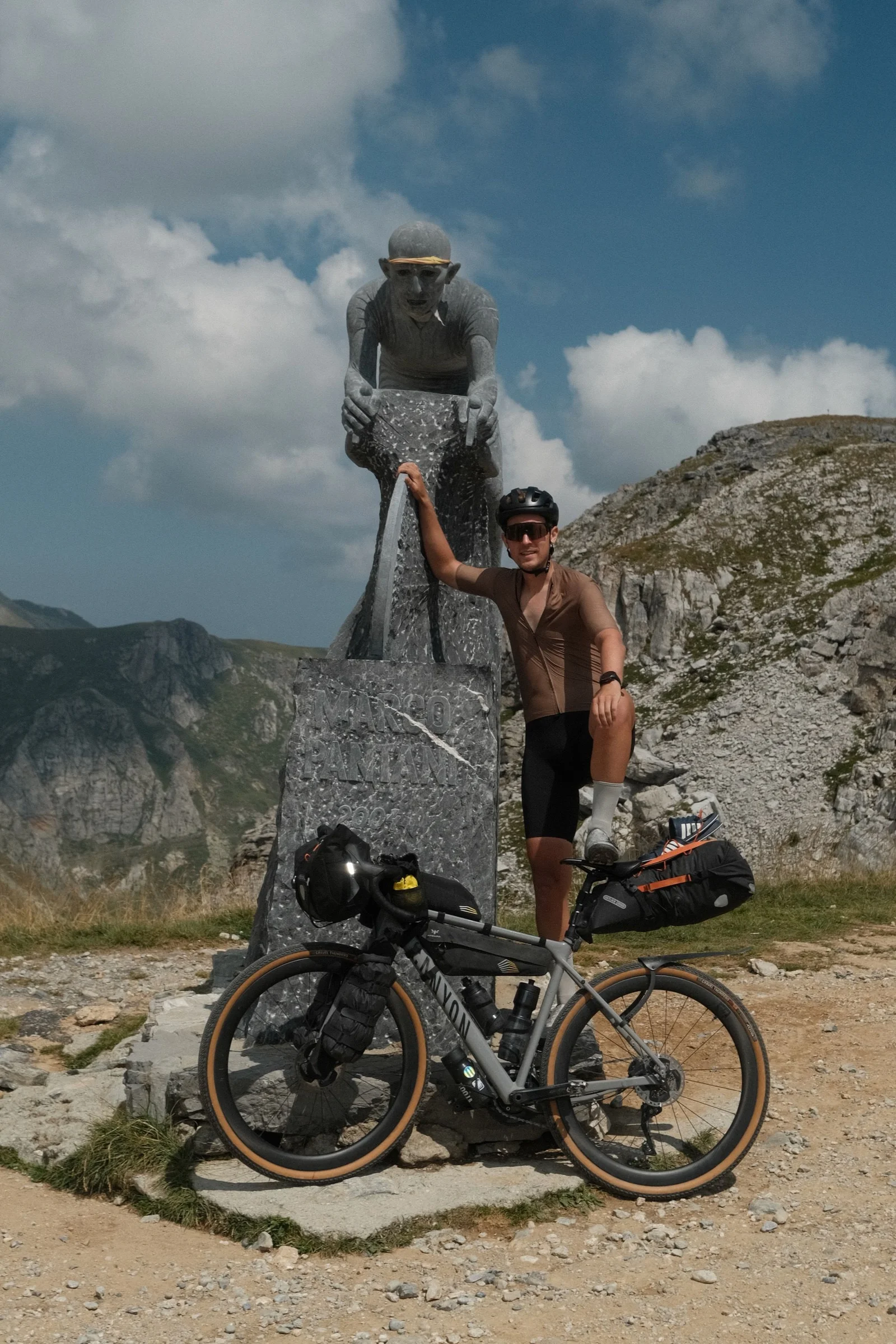
Deviating slightly from the official TNR route, we turned toward Colle Fauniera — a long and demanding climb taking us up to nearly 2,500 meters above sea level. Right at the pass stands a monument to Marco Pantani, commemorating his famous attack during the 1999 Giro d'Italia.
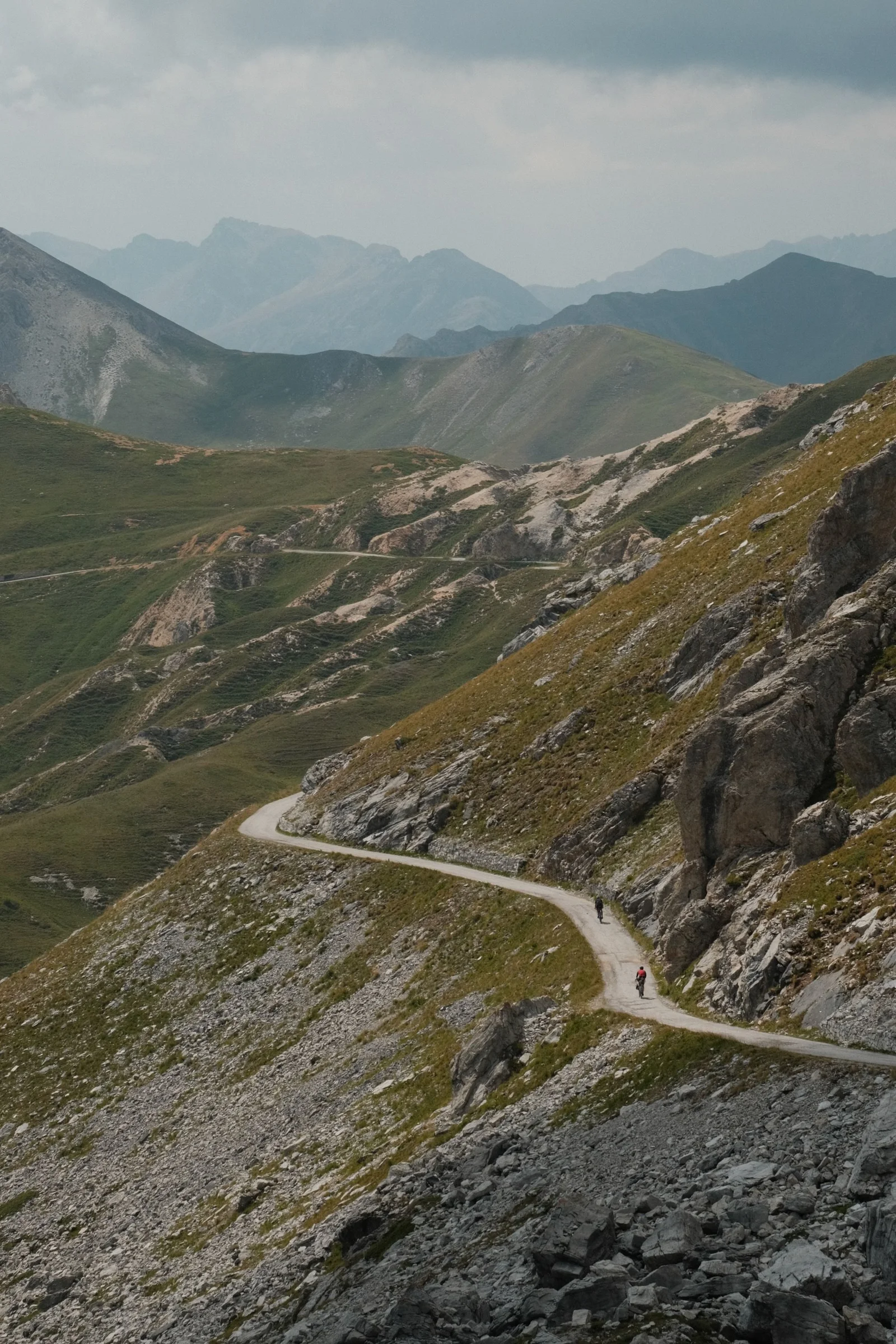
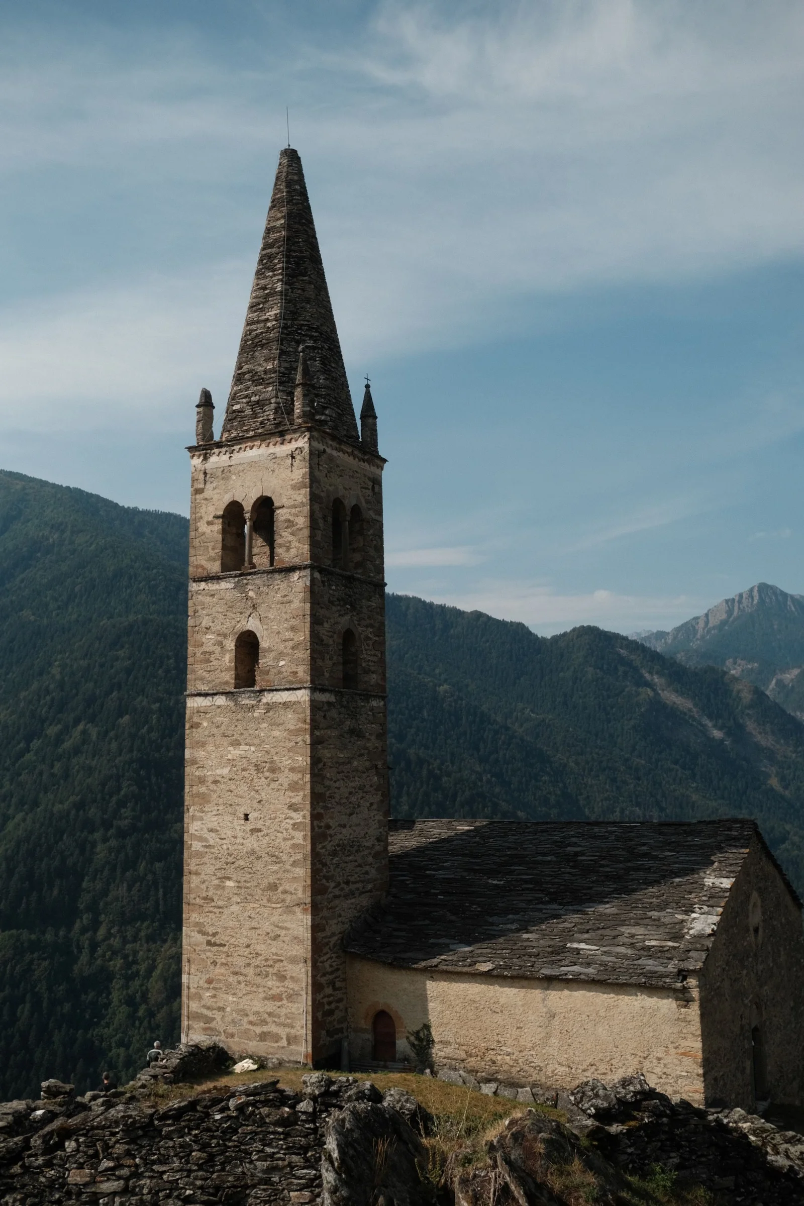
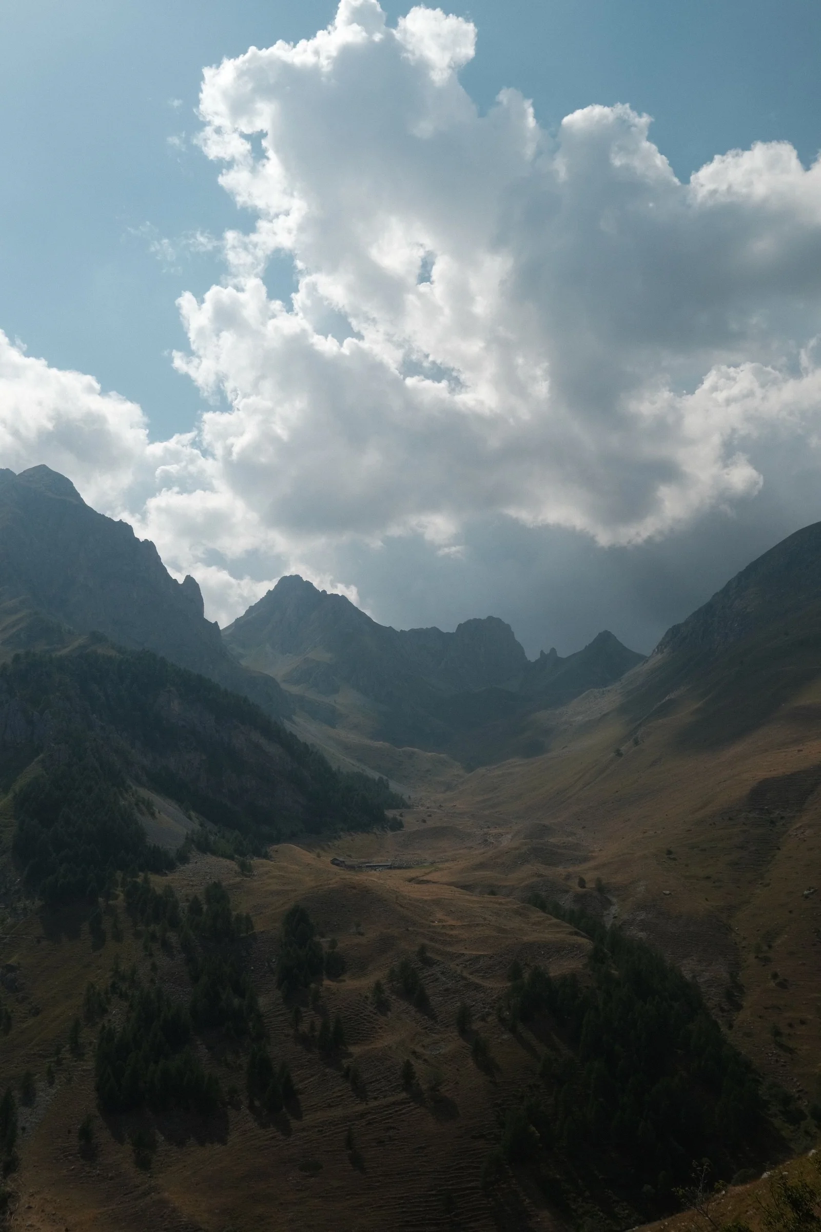
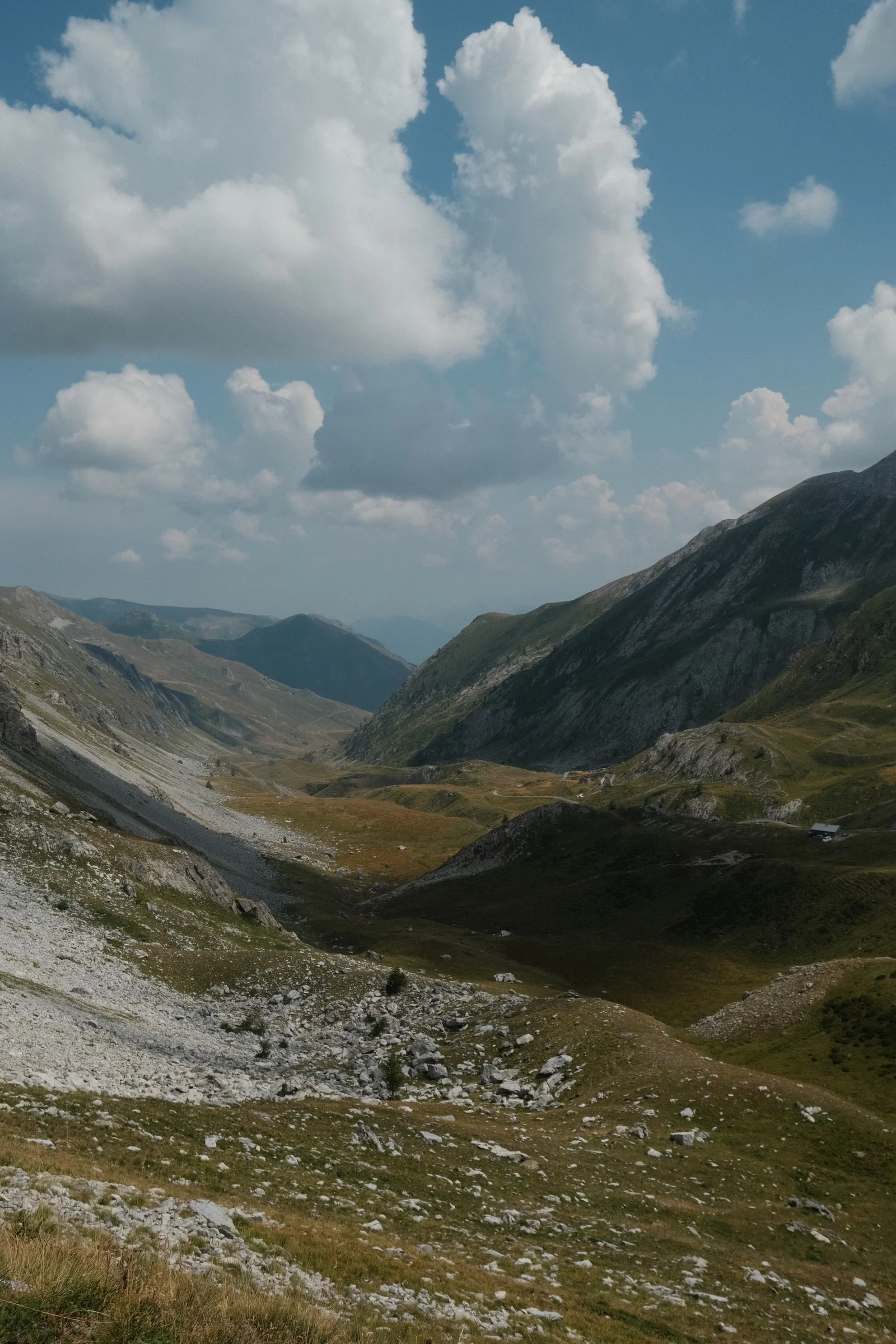
The descent through this valley was absolutely the best cycling descent of my life. Perfect asphalt, full sun, and mind-blowing views. I kept stopping for photos, even though it was a shame to hit the brakes.
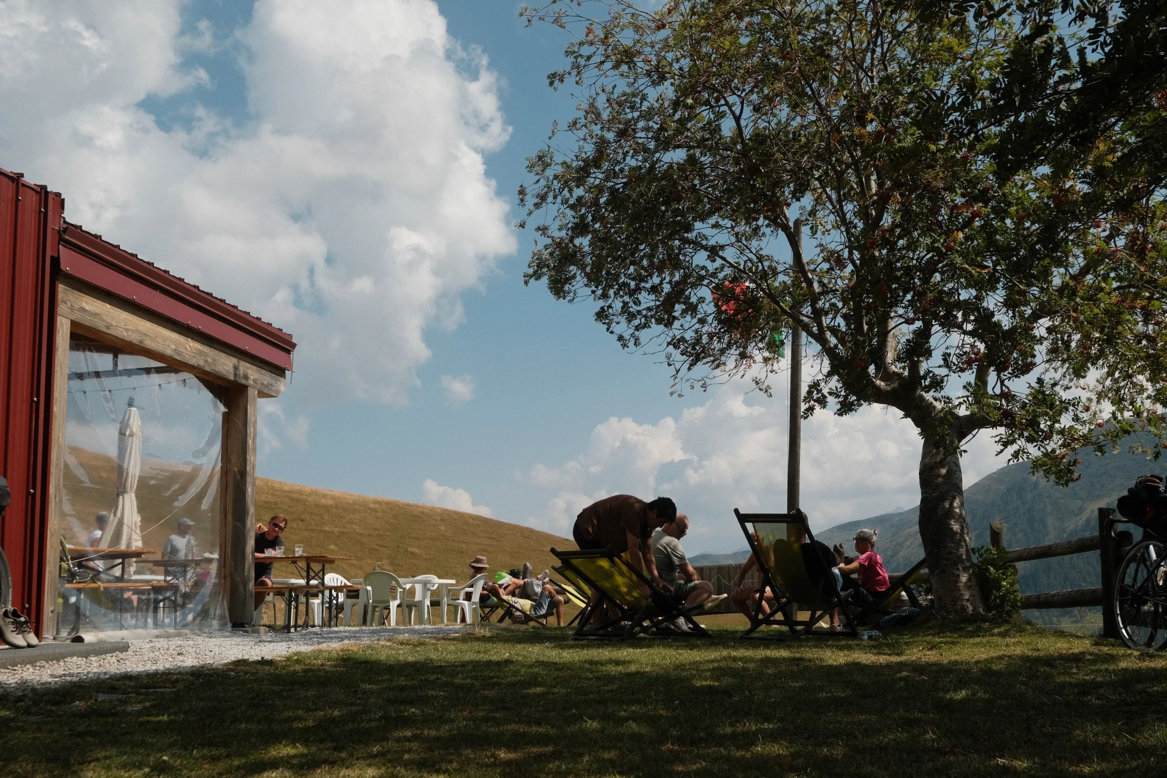
Midway through the descent, we stopped at Rifugio Carbonetto. Great pasta, sun loungers, and 15 minutes of lying on the grass looking at the mountains — after a full day of climbing, that moment of total reset was exactly what we needed.
We finished the day at a campsite near Borgo San Dalmazzo.
Day 6: Col de Tende and the Descent to the Sea
The final major climb of our trip: Col de Tende. By the afternoon, storm clouds started gathering in the sky again. The gravel descent full of tight switchbacks was unfortunately closed, but the detour suggested by TNR, an old military trail, worked out well, and we reached the pass before the rain.
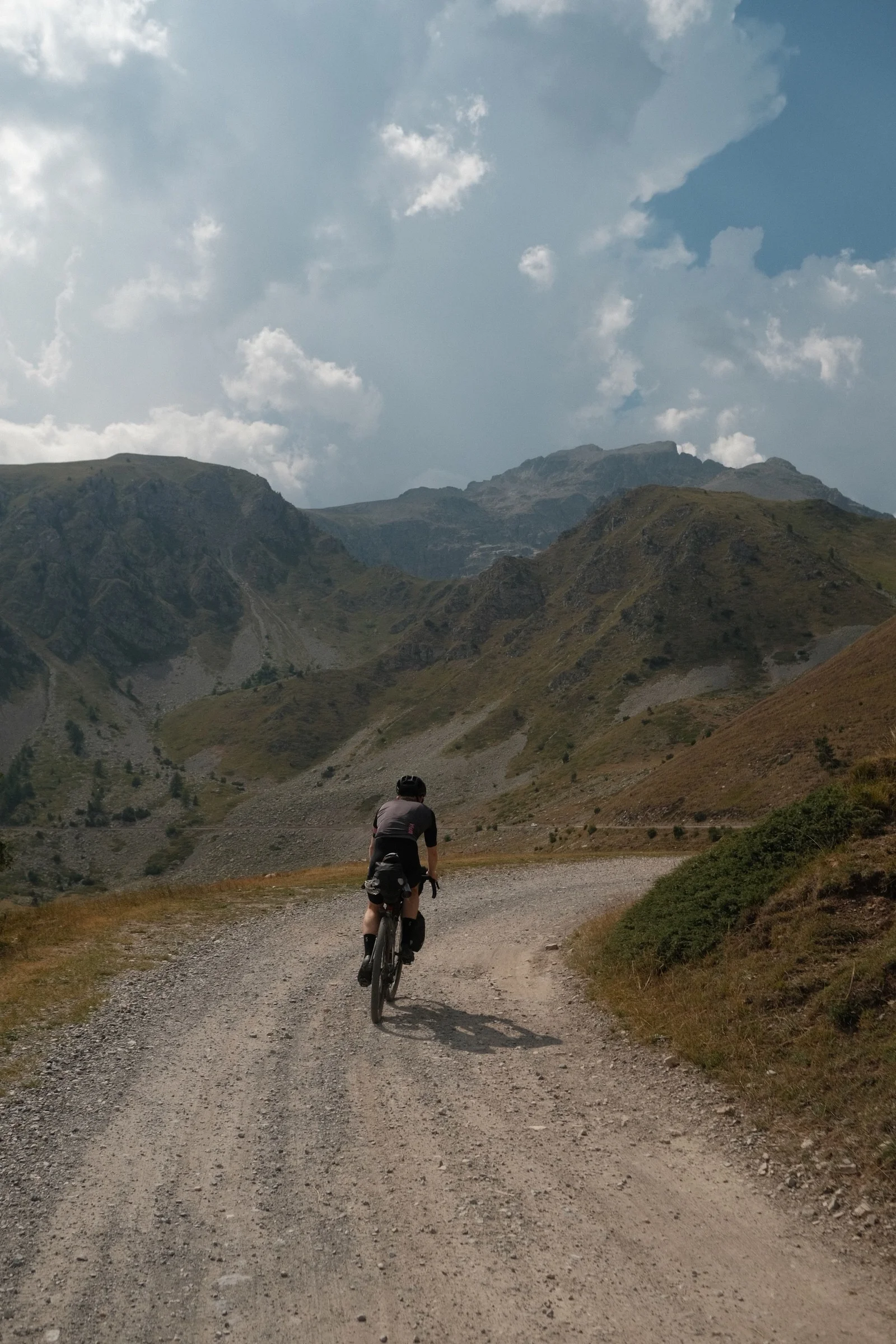
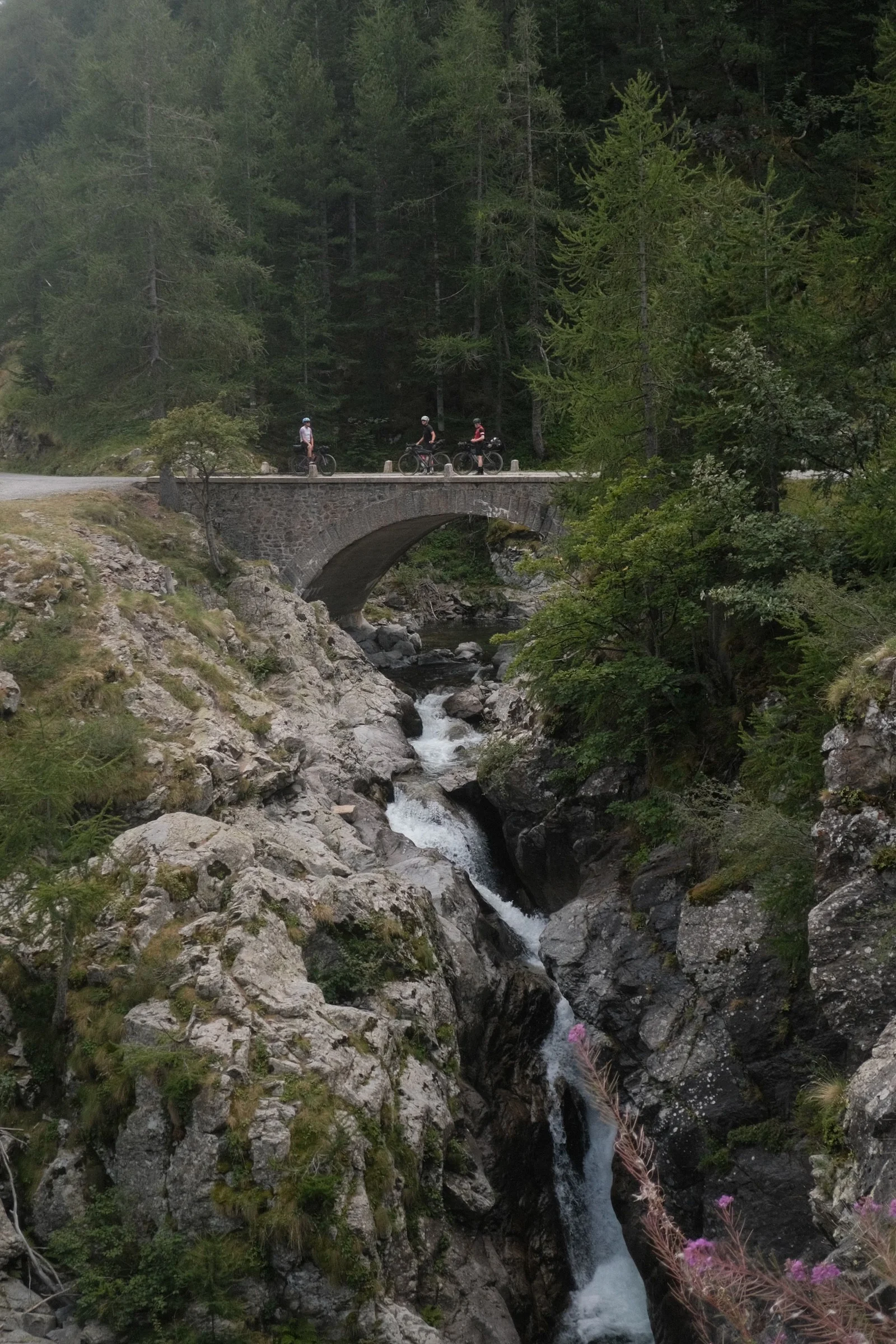
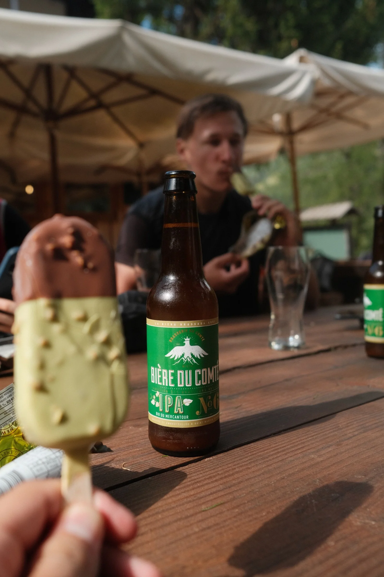
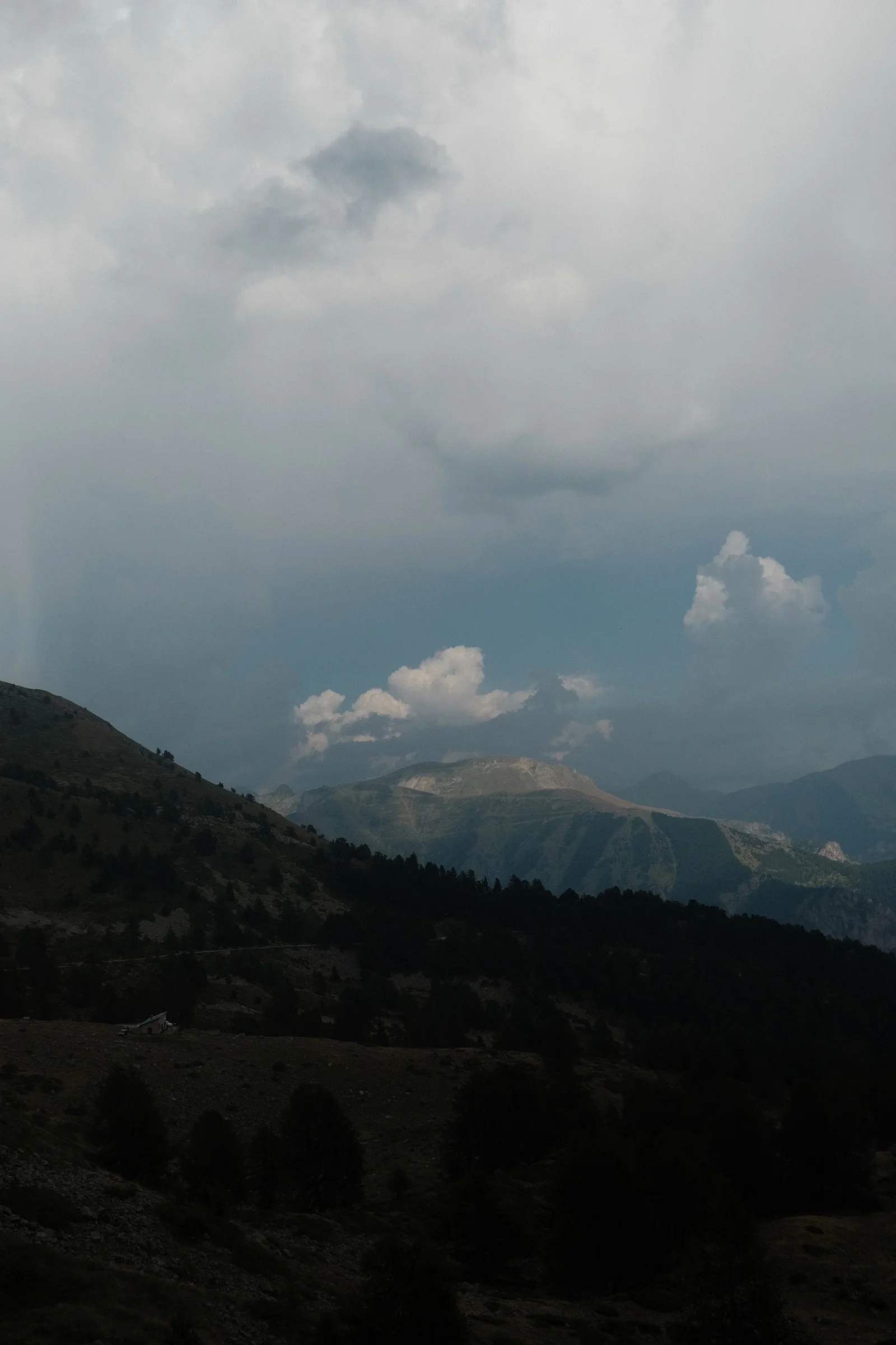
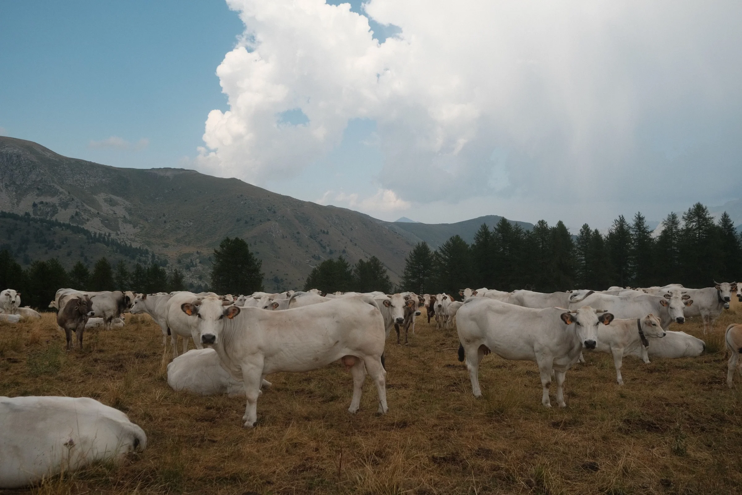
Halfway down, we stopped for a break. It was siesta time... so we had pistachio ice cream and French IPAs for lunch. From there, we headed straight toward the Mediterranean Sea. The last 50 kilometers were a continuous, fast ride down the valley. In the evening, we arrived in Ventimiglia right by the sea, where the humid Mediterranean heat hit us immediately.
Day 7: Monaco and the Finish Line in Nice
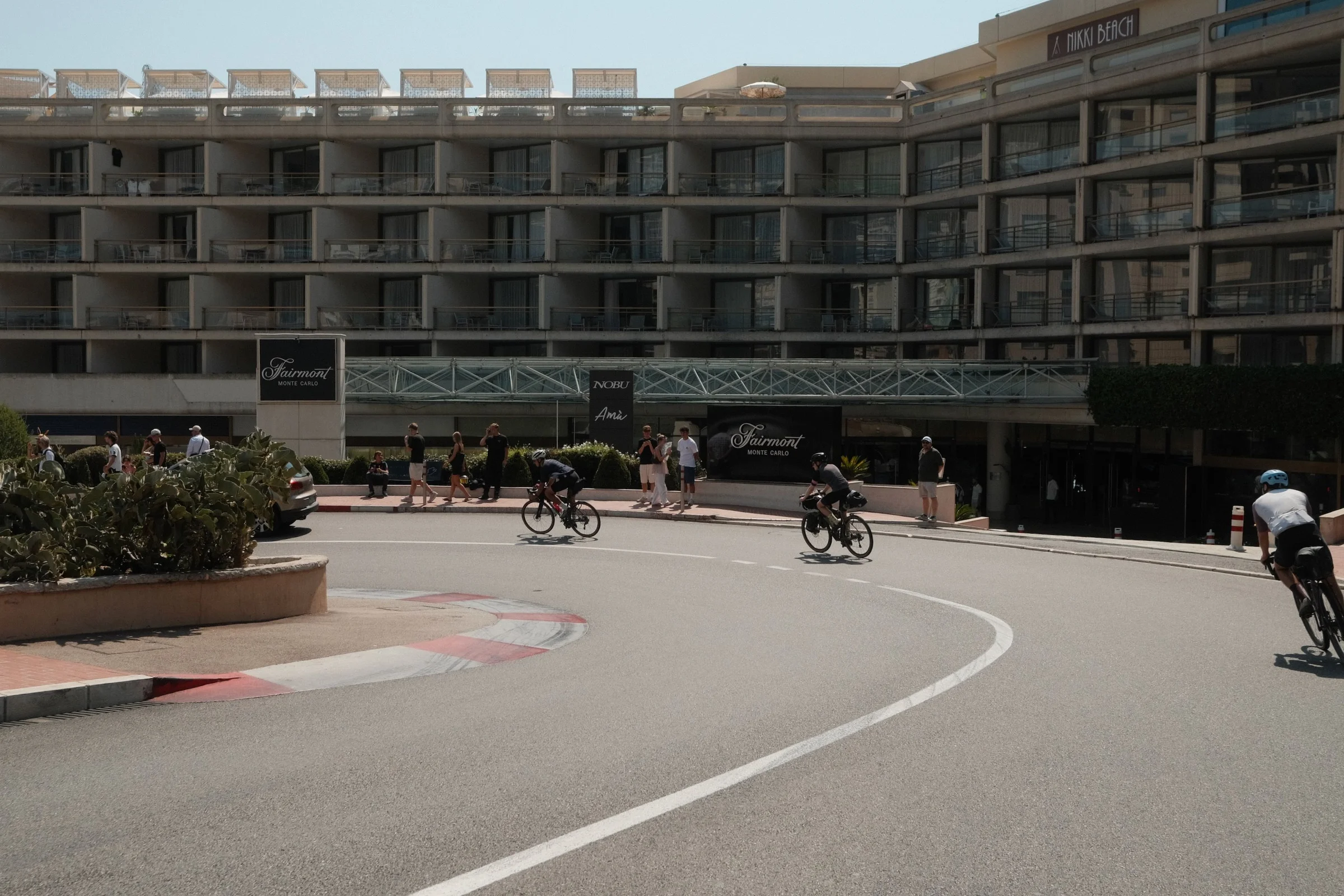
Our final day was a 40-kilometer ride along the coast. Halfway there, we reached Monaco and rode through the famous F1 corner: the Fairmont Hairpin.
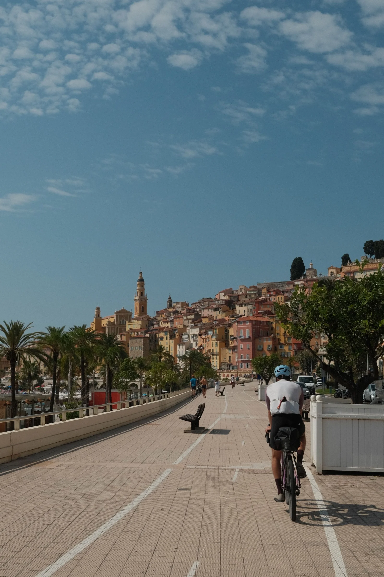
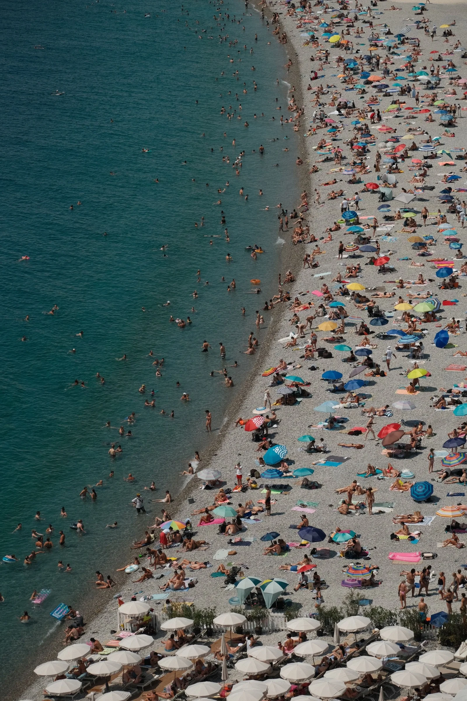
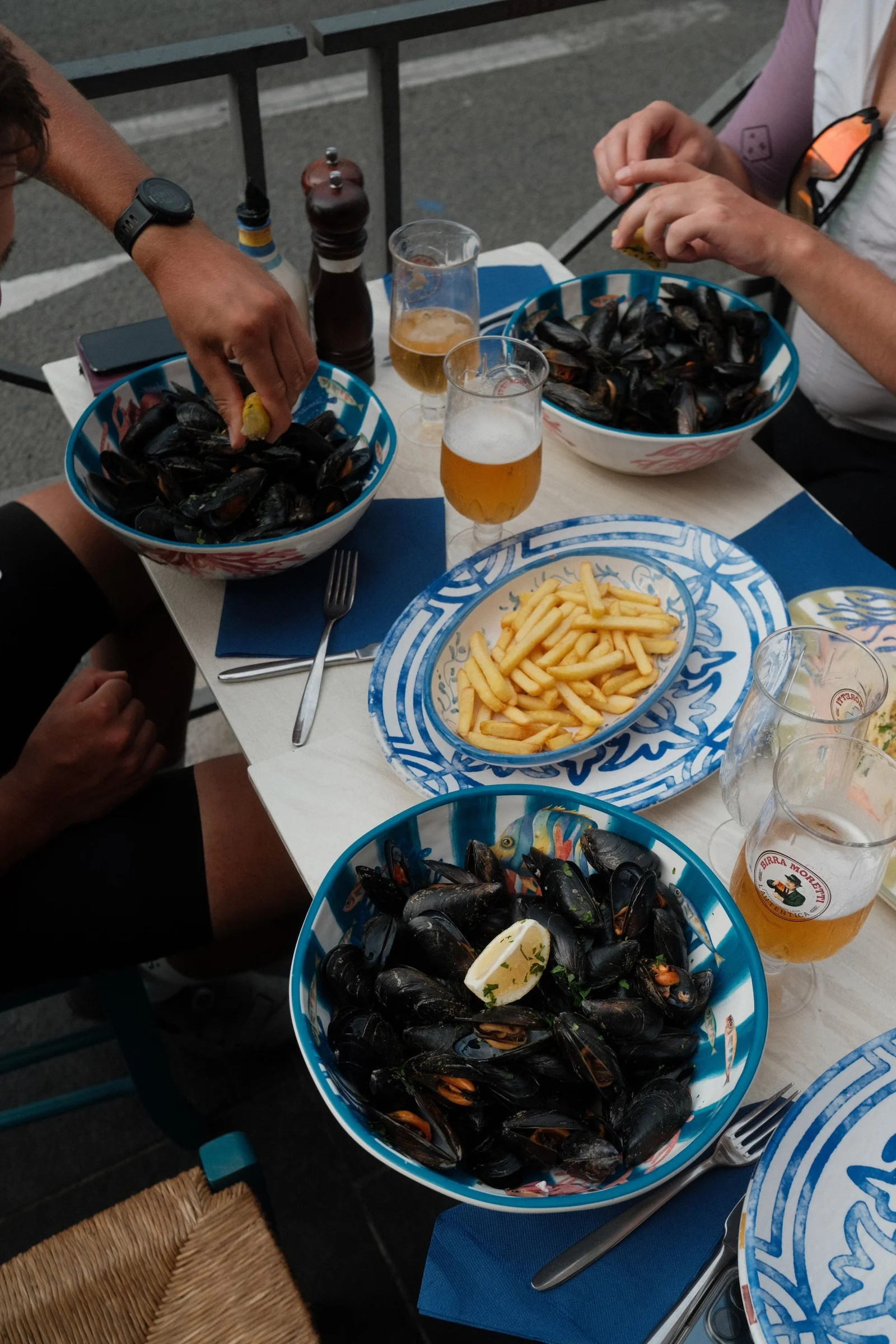
From there, we headed straight to Nice, finishing at the iconic Café du Cycliste. We celebrated the end of our trip in true Nice style: right by the sea, with a cold beer and moules-frites.
Logistics and the Journey Home
We left our car at the start of the route in Turin. After arriving in Nice, two of us hopped on a Flixbus to Turin, picked up the car, and drove back to Nice for the rest of the crew and the bikes. From there, we drove all the way back home.